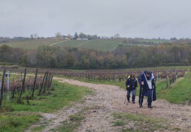
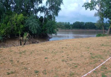
33 km | 42 km-effort
rouquey bertrand
MJG
Utilisateur
Longueur
19,2 km
Altitude max
96 m
Dénivelé positif
432 m
Km-Effort
25 km
Altitude min
4 m
Dénivelé négatif
490 m
Boucle
Non
Date de création :
2024-06-09 07:43:17.422
Dernière modification :
2024-06-26 06:27:04.971
6h08
Difficulté : Très difficile
Application GPS de randonnée GRATUITE
À propos
Randonnée Marche de 19,2 km à découvrir à Nouvelle-Aquitaine, Gironde, Tabanac. Cette randonnée est proposée par MJG.
Localisation
Pays :
France
Région :
Nouvelle-Aquitaine
Département/Province :
Gironde
Commune :
Tabanac
Localité :
Unknown
Départ:(Dec)
Départ:(UTM)
704589 ; 4955673 (30T) N.
Commentaires
Randonnées à proximité
St Caprais - Madirac
V.T.T.
Moyen
(1)
Saint-Caprais-de-Bordeaux,
Nouvelle-Aquitaine,
Gironde,
France
2h 43min
Oui
Sentier d'Ayguemorte les Graves
Marche
Facile
Ayguemorte-les-Graves,
Nouvelle-Aquitaine,
Gironde,
France
4,2 km | 4,5 km-effort
1h 4min
Oui
aze
Marche
Facile
Lestiac-sur-Garonne,
Nouvelle-Aquitaine,
Gironde,
France
4,5 km | 4,8 km-effort
2h 34min
Non
langoiran
Marche
Facile
Le Tourne,
Nouvelle-Aquitaine,
Gironde,
France
17,8 km | 24 km-effort
4h 12min
Non
lestiac
Marche
Très facile
Lestiac-sur-Garonne,
Nouvelle-Aquitaine,
Gironde,
France
9,4 km | 11,3 km-effort
3h 2min
Oui
33-haux-20120527
V.T.T.
Difficile
Haux,
Nouvelle-Aquitaine,
Gironde,
France
32 km | 41 km-effort
3h 0min
Oui
Sentier d'Isle Saint Georges
Marche
Facile
Isle-Saint-Georges,
Nouvelle-Aquitaine,
Gironde,
France
3,4 km | 3,6 km-effort
49min
Oui
Le Tourne
Marche
Difficile
Le Tourne,
Nouvelle-Aquitaine,
Gironde,
France
20 km | 27 km-effort
5h 21min
Oui
languaran
Marche
Très facile
Tabanac,
Nouvelle-Aquitaine,
Gironde,
France
9,8 km | 12,1 km-effort
2h 54min
Oui