


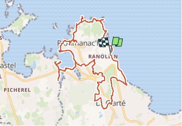

11,1 km | 13,6 km-effort

Utilisateur


Application GPS de randonnée GRATUITE
 SityTrail
IGN / Instituts géographiques
SityTrail World
Le monde est à vous
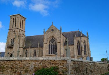
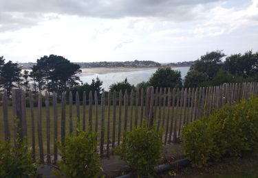
Randonnée Marche de 13,1 km à découvrir à Bretagne, Côtes-d'Armor, Perros-Guirec. Cette randonnée est proposée par joelinou.
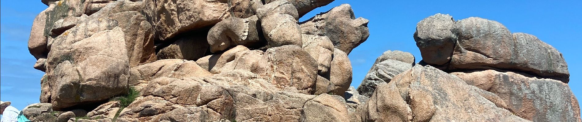
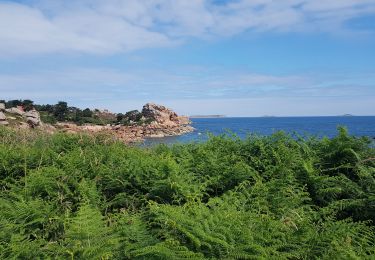
Magnifique boucle sur ploumanach en passant par les statues en granite et le long de la côte granite rose
Seul bémol du monde


Marche

Marche
Marche
Marche
Marche

Marche

Marche
Cyclotourisme

Marche