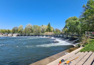
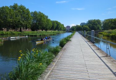
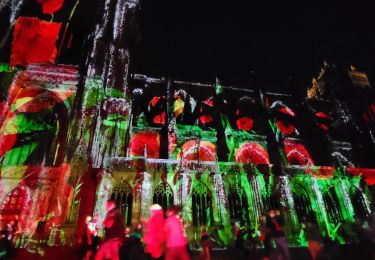
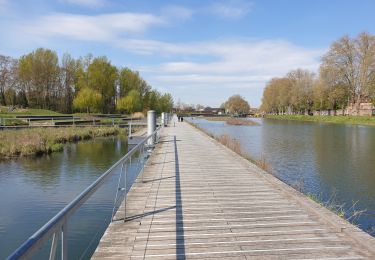
8 km | 9,2 km-effort
2024 06 23 Footing
Jérémie Eschbach
Utilisateur
Longueur
10,8 km
Altitude max
192 m
Dénivelé positif
126 m
Km-Effort
12,5 km
Altitude min
145 m
Dénivelé négatif
126 m
Boucle
Oui
Date de création :
2024-06-23 17:52:24.87
Dernière modification :
2024-06-23 19:00:31.613
1h07
Difficulté : Très facile
Application GPS de randonnée GRATUITE
À propos
Randonnée Course à pied de 10,8 km à découvrir à Grand Est, Bas-Rhin, Oberhausbergen. Cette randonnée est proposée par Jérémie Eschbach.
Localisation
Pays :
France
Région :
Grand Est
Département/Province :
Bas-Rhin
Commune :
Oberhausbergen
Localité :
Unknown
Départ:(Dec)
Départ:(UTM)
404086 ; 5384078 (32U) N.
Commentaires
Randonnées à proximité
Strasbourg - Centre historique
Marche
Facile
(3)
Strasbourg,
Grand Est,
Bas-Rhin,
France
2h 11min
Non
Histoires d'eaux.... et de forêts au nord de Strasbourg
Marche
Difficile
(1)
Strasbourg,
Grand Est,
Bas-Rhin,
France
26 km | 28 km-effort
5h 57min
Oui
Untitled
Marche
Très facile
(1)
Strasbourg,
Grand Est,
Bas-Rhin,
France
6,1 km | 7 km-effort
1h 42min
Oui
Strasbourg Krutenau Université
Marche
Moyen
(1)
Strasbourg,
Grand Est,
Bas-Rhin,
France
5,3 km | 6,1 km-effort
1h 23min
Oui
marchepop bischheim 10km 2021
Marche
Très facile
(1)
Bischheim,
Grand Est,
Bas-Rhin,
France
10,7 km | 11,8 km-effort
2h 31min
Oui
20241213 Wolfisheim
sport
Très facile
Wolfisheim,
Grand Est,
Bas-Rhin,
France
7,5 km | 8,1 km-effort
Inconnu
Oui
La ceinture verte de Strasbourg
Marche
Moyen
Strasbourg,
Grand Est,
Bas-Rhin,
France
19,8 km | 22 km-effort
4h 6min
Oui
balade post bretzel
Marche
Moyen
Strasbourg,
Grand Est,
Bas-Rhin,
France
6 km | 7 km-effort
1h 40min
Non
La ceinture verte de Strasbourg
Marche
Difficile
Strasbourg,
Grand Est,
Bas-Rhin,
France
20 km | 23 km-effort
3h 53min
Oui