


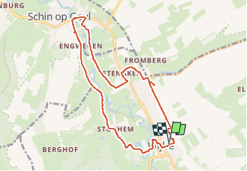

11,5 km | 13,3 km-effort


Utilisateur GUIDE


Application GPS de randonnée GRATUITE
 SityTrail
IGN / Instituts géographiques
SityTrail World
Le monde est à vous
Randonnée Marche de 8,6 km à découvrir à Limbourg, Inconnu, Gulpen-Wittem. Cette randonnée est proposée par mumu.larandonneuse.
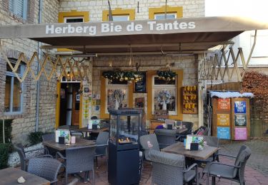
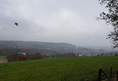
🇳🇱 Une belle balade dans la vallée de la Gueule de Wijlre à Schin op Geul en passant par le hameau de Stokhem.
📌 & 🅿️ Van Wachtendonckpkein à Wijlre.


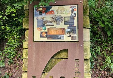
Marche
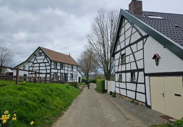
Marche
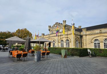
Marche

Marche

Marche
Marche

Marche
Marche
Marche