


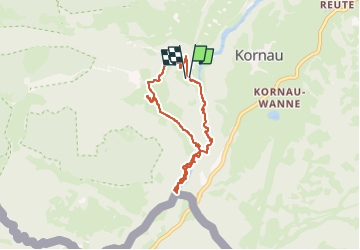


6,4 km | 9,8 km-effort

Utilisateur


Application GPS de randonnée GRATUITE
 SityTrail
IGN / Instituts géographiques
SityTrail World
Le monde est à vous
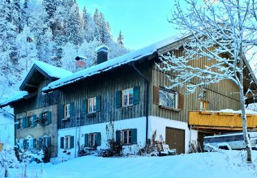
Randonnée Marche de 6,5 km à découvrir à Bavière, Landkreis Oberallgäu, Oberstdorf. Cette randonnée est proposée par Geert H..
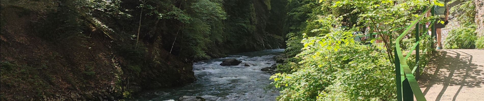
The Breitachklamm is a gorge created by the river Breitach
It is one of the deepest gorges of the Bavarian Alps and the deepest rocky gorge of Central Europe. Every year around 300.000 visitors walk the 2.5 km long path through the gorge.
Parking: € 4
Entrance fee: € 7,50 (2024)


25 photos au total. Cliquez sur une photo pour les afficher toutes dans la galerie.
A pied
A pied
A pied
A pied

A pied
A pied
A pied

Marche
Marche