


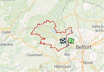


42 km | 55 km-effort

Utilisateur


Application GPS de randonnée GRATUITE
 SityTrail
IGN / Instituts géographiques
SityTrail World
Le monde est à vous
Randonnée Vélo électrique de 71 km à découvrir à Bourgogne-Franche-Comté, Haute-Saône, Châlonvillars. Cette randonnée est proposée par Bart2015.
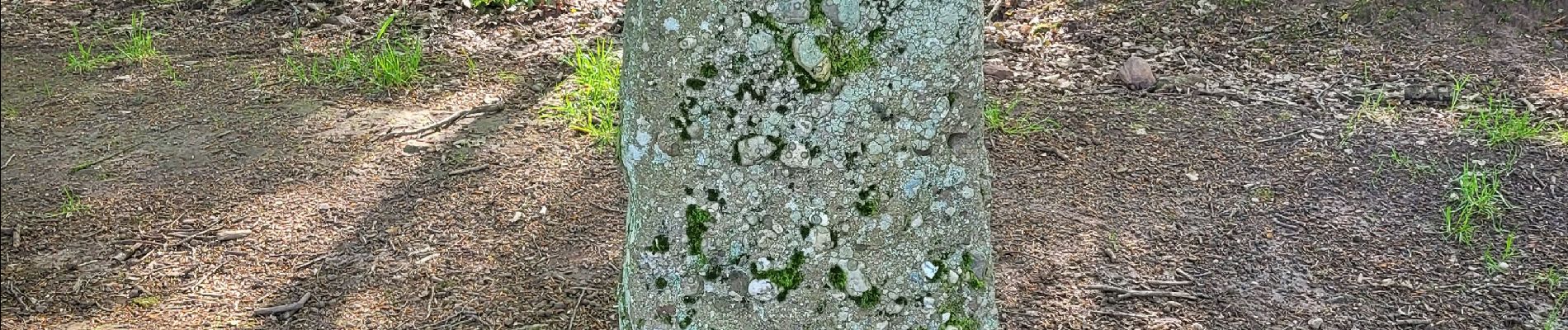
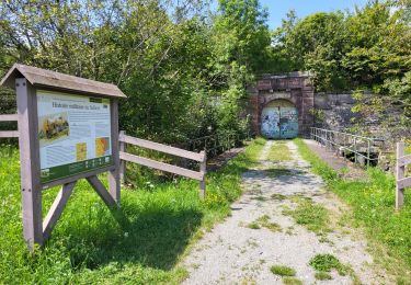
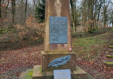
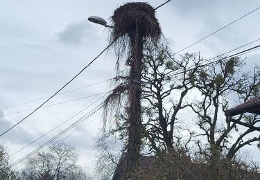
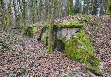
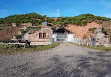
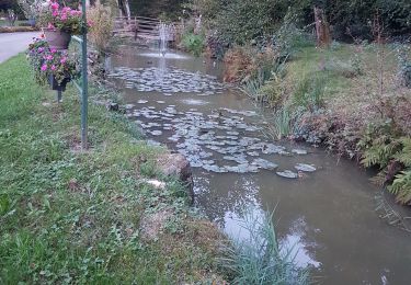
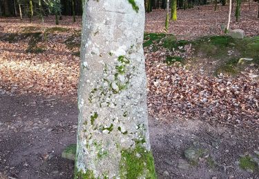
Belle randonnée en VTT électrique au milieu des étangs. A découvrir : la Pierre St Desle (mehnir), l'emplacement des ruines du château d'Etobon, la grotte des prisonniers allemands (200 m à pied au km 19), la stèle des maquisards fusillés, les puits de mines autour de Ronchamp, le chemin des sculptures, ...
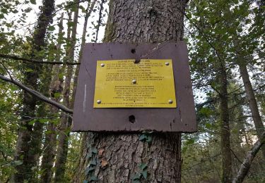
Bonne rando, soyez prudent ...
PS : certains passages peuvent être très gras en saison pluvieuse.


25 photos au total. Cliquez sur une photo pour les afficher toutes dans la galerie.
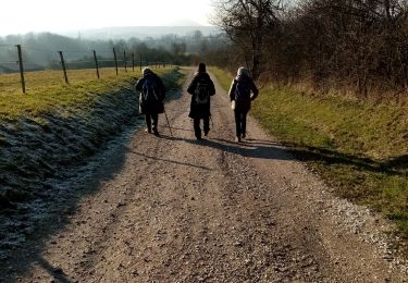
Vélo électrique
Marche
Marche
Marche
V.T.T.
V.T.T.
Marche
Marche
Marche