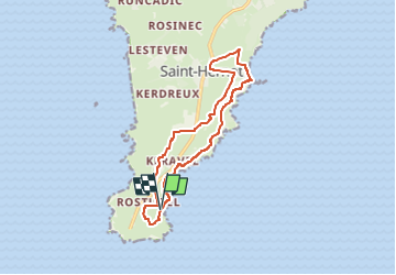

5,5 km | 7,6 km-effort


Utilisateur GUIDE


Application GPS de randonnée GRATUITE
 SityTrail
IGN / Instituts géographiques
SityTrail World
Le monde est à vous
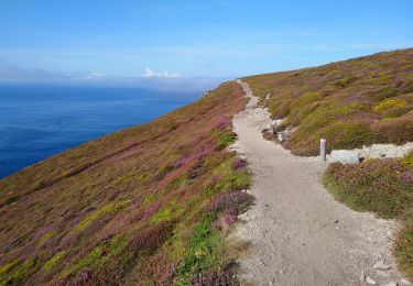
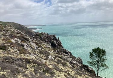
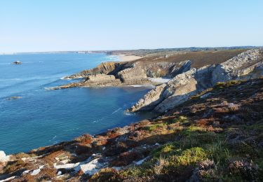
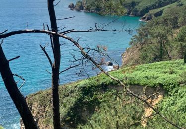
Randonnée A pied de 12,5 km à découvrir à Bretagne, Finistère, Crozon. Cette randonnée est proposée par chessyca.
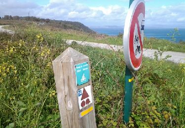
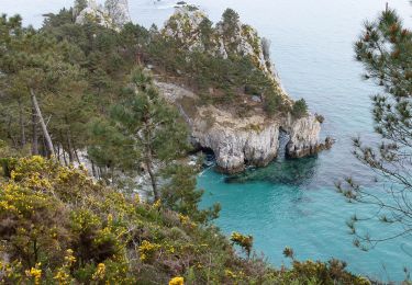
Par certains aspects de la côte et, sous certaines lumières d’été, vous vous croirez dans les calanques méditerranéennes, avec en prime l’iode et la traversée de cinq villages typiques de pêcheurs du cap.
Marche
A pied
Marche

Marche
Marche
Marche
Marche
A pied