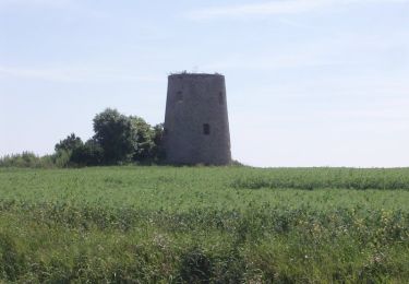
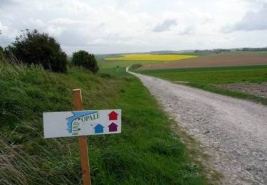
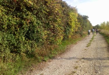
10,7 km | 12,7 km-effort
Landrethun Le nord (Matin)
tenace
Utilisateur
Longueur
10,7 km
Altitude max
132 m
Dénivelé positif
139 m
Km-Effort
12,5 km
Altitude min
27 m
Dénivelé négatif
135 m
Boucle
Oui
Date de création :
2024-06-13 07:41:32.692
Dernière modification :
2024-06-13 13:50:41.768
2h30
Difficulté : Difficile
Application GPS de randonnée GRATUITE
À propos
Randonnée Marche de 10,7 km à découvrir à Hauts-de-France, Pas-de-Calais, Landrethun-le-Nord. Cette randonnée est proposée par tenace.
Localisation
Pays :
France
Région :
Hauts-de-France
Département/Province :
Pas-de-Calais
Commune :
Landrethun-le-Nord
Localité :
Unknown
Départ:(Dec)
Départ:(UTM)
414370 ; 5633466 (31U) N.
Commentaires
Randonnées à proximité
Les Croisettes - Caffiers
Marche
Moyen
(4)
Caffiers,
Hauts-de-France,
Pas-de-Calais,
France
2h 40min
Oui
Terre des deux caps variante VTT 2
V.T.T.
Moyen
(1)
Leubringhen,
Hauts-de-France,
Pas-de-Calais,
France
36 km | 42 km-effort
2h 50min
Oui
Sentier des crêtes - Pihen-les-Guînes
Marche
Moyen
(1)
Pihen-lès-Guînes,
Hauts-de-France,
Pas-de-Calais,
France
8,2 km | 9,4 km-effort
2h 4min
Oui
Chemin de la Folie - Bonningues-les-Calais
Marche
Moyen
Bonningues-lès-Calais,
Hauts-de-France,
Pas-de-Calais,
France
9,8 km | 11,5 km-effort
2h 30min
Oui
Balade des Poissonniers. (Landrethun le Nord)
Marche
Moyen
Landrethun-le-Nord,
Hauts-de-France,
Pas-de-Calais,
France
11,1 km | 13 km-effort
2h 45min
Oui
Sentiers des Poissonniers
A pied
Facile
Landrethun-le-Nord,
Hauts-de-France,
Pas-de-Calais,
France
9,4 km | 11,2 km-effort
2h 33min
Non
ballade 2
Marche
Facile
(1)
Saint-Inglevert,
Hauts-de-France,
Pas-de-Calais,
France
10,9 km | 13,6 km-effort
2h 36min
Oui
Landrethun le Nord Matin
Marche
Difficile
Landrethun-le-Nord,
Hauts-de-France,
Pas-de-Calais,
France
10,9 km | 12,6 km-effort
2h 6min
Oui
Les Marbrières variante
Vélo
Moyen
Rinxent,
Hauts-de-France,
Pas-de-Calais,
France
51 km | 57 km-effort
3h 23min
Oui