


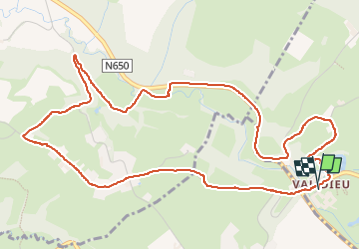

9,5 km | 12,1 km-effort

Par Mumu.larandonneuse


Application GPS de randonnée GRATUITE
 SityTrail
IGN / Instituts géographiques
SityTrail World
Le monde est à vous
Randonnée Marche de 5,9 km à découvrir à Wallonie, Liège, Aubel. Cette randonnée est proposée par Je vous emmène sur mes chemins .
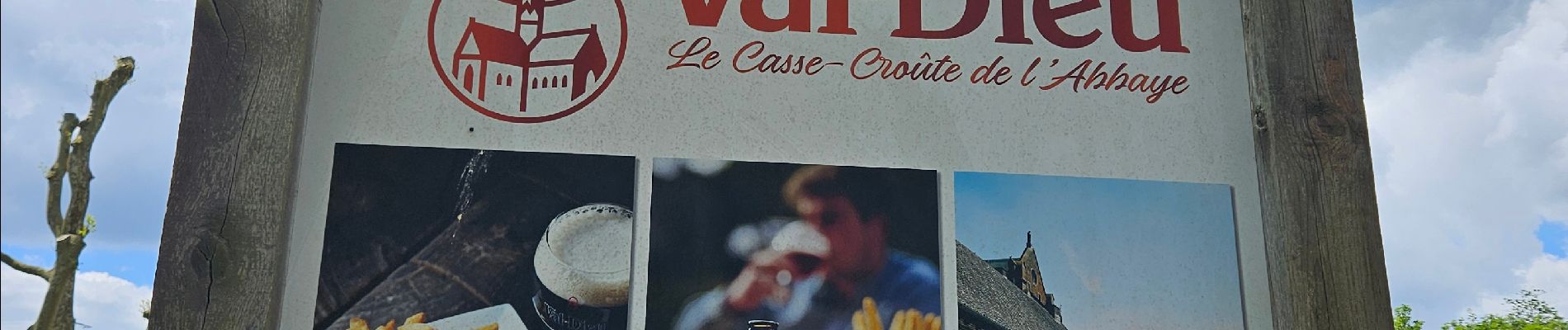
Pour combiner la randonnée avec la visite de la @Brasserie de Val-Dieu et le site de l’Abbaye.
👣 Prairies, routes de campagne, sentier rocailleux, Bois de Mauhin, la N650 ( -1 km), chemins, ...


Marche

Marche
Marche

Marche

Marche

Marche

Marche
Marche
