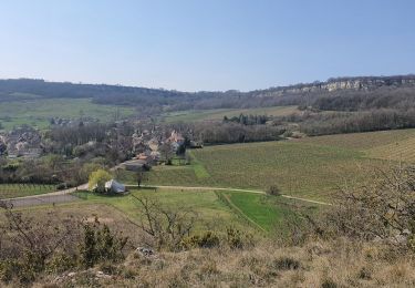
47 km | 67 km-effort
La Rochepot 20240609
cmike39
Utilisateur
Longueur
19,3 km
Altitude max
564 m
Dénivelé positif
711 m
Km-Effort
29 km
Altitude min
324 m
Dénivelé négatif
711 m
Boucle
Oui
Date de création :
2024-06-09 08:06:40.693
Dernière modification :
2024-06-09 14:55:08.902
5h03
Difficulté : Très difficile
Application GPS de randonnée GRATUITE
À propos
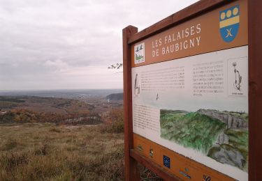
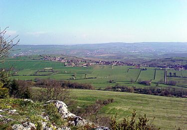
Randonnée Marche de 19,3 km à découvrir à Bourgogne-Franche-Comté, Côte-d'Or, La Rochepot. Cette randonnée est proposée par cmike39.
Localisation
Pays :
France
Région :
Bourgogne-Franche-Comté
Département/Province :
Côte-d'Or
Commune :
La Rochepot
Localité :
Unknown
Départ:(Dec)
Départ:(UTM)
627882 ; 5201935 (31T) N.
Commentaires
Randonnées à proximité
Circuit Jean-Marc Boivin - Nolay
Marche
Très difficile
(2)
Nolay,
Bourgogne-Franche-Comté,
Côte-d'Or,
France
10h 0min
Oui
DYN - la-rochepot-fontaine-dxorches 18km
Marche
Très difficile
(1)
La Rochepot,
Bourgogne-Franche-Comté,
Côte-d'Or,
France
17,9 km | 26 km-effort
5h 54min
Oui
Tour du Bout du Monde
A pied
Facile
Cormot-Vauchignon,
Bourgogne-Franche-Comté,
Côte-d'Or,
France
10,1 km | 13,1 km-effort
2h 58min
Oui
Sentier des Roches
A pied
Moyen
La Rochepot,
Bourgogne-Franche-Comté,
Côte-d'Or,
France
14,1 km | 21 km-effort
4h 46min
Oui
Sentier des roches
Marche
Difficile
(1)
Baubigny,
Bourgogne-Franche-Comté,
Côte-d'Or,
France
15,2 km | 22 km-effort
4h 41min
Oui
Nolay
Marche
Très difficile
Nolay,
Bourgogne-Franche-Comté,
Côte-d'Or,
France
18,6 km | 27 km-effort
4h 34min
Oui
Saint-Aubin
Marche
Moyen
Saint-Aubin,
Bourgogne-Franche-Comté,
Côte-d'Or,
France
21 km | 29 km-effort
4h 53min
Oui
25-03-2022 Baubigny - Saint Romain
Marche
Moyen
Baubigny,
Bourgogne-Franche-Comté,
Côte-d'Or,
France
15,4 km | 22 km-effort
3h 35min
Oui
Vauchignon par de la le bout du monde page 9
Marche
Difficile
(4)
Cormot-Vauchignon,
Bourgogne-Franche-Comté,
Côte-d'Or,
France
12,5 km | 16,6 km-effort
3h 46min
Oui