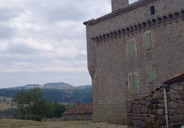
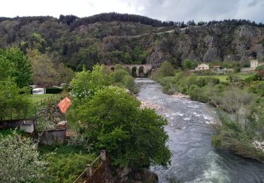
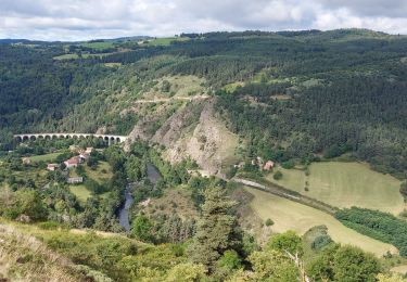
14,3 km | 21 km-effort
Sodo fin rouluraid 2024
Halberstadt
Utilisateur
Longueur
12,4 km
Altitude max
1143 m
Dénivelé positif
284 m
Km-Effort
16,2 km
Altitude min
996 m
Dénivelé négatif
280 m
Boucle
Oui
Date de création :
2024-06-09 07:44:39.0
Dernière modification :
2024-06-09 09:49:48.593
2h04
Difficulté : Facile
Application GPS de randonnée GRATUITE
À propos
Randonnée V.T.T. de 12,4 km à découvrir à Auvergne-Rhône-Alpes, Haute-Loire, Saint-Christophe-d'Allier. Cette randonnée est proposée par Halberstadt.
Description
Bnp
Localisation
Pays :
France
Région :
Auvergne-Rhône-Alpes
Département/Province :
Haute-Loire
Commune :
Saint-Christophe-d'Allier
Localité :
Unknown
Départ:(Dec)
Départ:(UTM)
553902 ; 4966451 (31T) N.
Commentaires
Randonnées à proximité
GR 470 Pourcheresse / Chapeauroux
Marche
Moyen
Alleyras,
Auvergne-Rhône-Alpes,
Haute-Loire,
France
17,4 km | 24 km-effort
5h 8min
Non
Les bords de l'Allier
A pied
Facile
Saint-Christophe-d'Allier,
Auvergne-Rhône-Alpes,
Haute-Loire,
France
9,8 km | 13,4 km-effort
3h 3min
Oui
chapeauroux
Marche
Difficile
Saint Bonnet-Laval,
Occitanie,
Lozère,
France
17 km | 26 km-effort
5h 58min
Non
chambon le chateau
Marche
Moyen
Bel-Air-Val-d'Ance,
Occitanie,
Lozère,
France
8,7 km | 10,9 km-effort
2h 18min
Oui
GR470 Chapeauroux/Landos
Marche
Difficile
Saint Bonnet-Laval,
Occitanie,
Lozère,
France
12,4 km | 18,1 km-effort
4h 7min
Non
GR470 Chapeyroux/Langogne
Marche
Très difficile
Saint Bonnet-Laval,
Occitanie,
Lozère,
France
20 km | 31 km-effort
6h 55min
Non
gr 470
Marche
Moyen
Saint Bonnet-Laval,
Occitanie,
Lozère,
France
13,4 km | 19,2 km-effort
4h 42min
Non
Pourcheresse - les balcons de l'allier
V.T.T.
Difficile
Alleyras,
Auvergne-Rhône-Alpes,
Haute-Loire,
France
42 km | 58 km-effort
4h 15min
Non