J4 Vayots Dzor SityTrail > Randonnées > Outdoor > Arménie > Vayots Dzor > Unknown > Unknown SityTrail > Randonnées > Outdoor > Arménie > Vayots Dzor > Unknown > Unknown J4 Vayots Dzor aldaus Utilisateur 3D © OpenStreetMap contributors Longueur 27 km Altitude max 2441 m Dénivelé positif 943 m Km-Effort 42 km Altitude min 1378 m Dénivelé négatif 1506 m Boucle Non Date de création : 2024-06-07 03:15:35.958 Dernière modification : 2024-06-07 15:17:32.74 (0 Avis) Marche 9h18 Difficulté : Difficile Application GPS de randonnée GRATUITE SityTrail IGN / Instituts géographiques SityTrail World Le monde est à vous À propos 
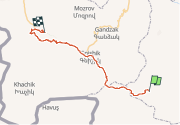
Randonnée Marche de 27 km à découvrir à Vayots Dzor. Cette randonnée est proposée par aldaus. Légendes | Plus de détails (PDF) Profil altimétrique Légendes > 15% 15% - 10% 10% - 5% à plat 5% - 10% 10% - 15% 15% - 30% > 30% Localisation Pays : Arménie Région : Vayots Dzor Département/Province : Unknown Commune : Unknown Localité : Unknown Départ:(Dec) 39.6196797 / 45.3793406 Départ:(UTM) 532559 ; 4385616 (38S) N. Commentaires Veuillez vous connecter pour laisser un commentaire ou une note Randonnées à proximité aldaus J5 Vayots Dzor Marche Difficile , Vayots Dzor, , Arménie 29 km | 42 km-effort 8h 49min Non aldaus J3 Vayots Dzor Marche Difficile , Vayots Dzor, , Arménie 28 km | 39 km-effort 9h 11min Non