


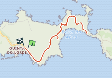

6,5 km | 11,9 km-effort

Utilisateur


Application GPS de randonnée GRATUITE
 SityTrail
IGN / Instituts géographiques
SityTrail World
Le monde est à vous
Randonnée Marche de 6,5 km à découvrir à Madère, Inconnu, Caniçal. Cette randonnée est proposée par patjobou.
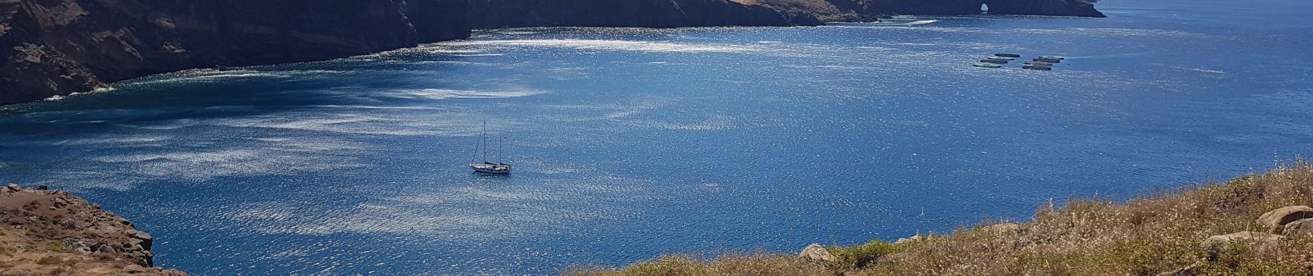
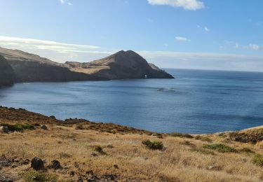
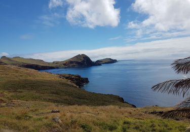
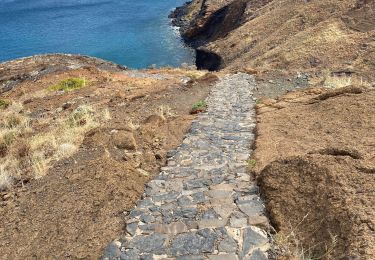
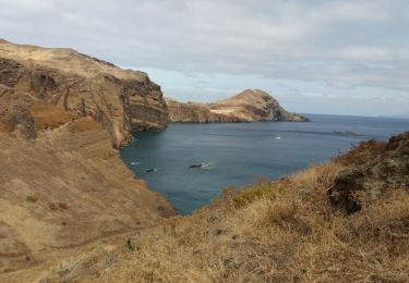
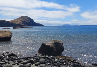
Presqu'île de Sao Lourenço.
Bel itinéraire qui change des Levadas et Veradas, malheureusement très fréquenté. Beaux payasages maritimes et rocheux.


Marche
Marche
Marche
Marche
Marche


Marche
Marche