


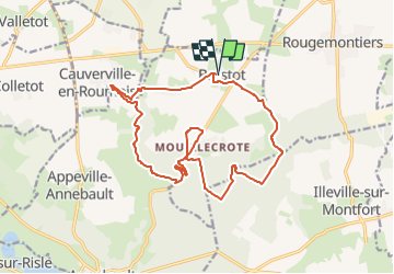

12,3 km | 14,4 km-effort

Club Rando Saint-Paër


Application GPS de randonnée GRATUITE
 SityTrail
IGN / Instituts géographiques
SityTrail World
Le monde est à vous
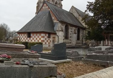
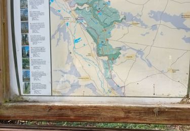
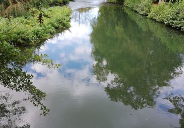
Randonnée Marche de 16,7 km à découvrir à Normandie, Eure, Brestot. Cette randonnée est proposée par BOUSSOLE ET SAC A DOS.
Marche
Marche
Marche
Marche
Marche
Marche
Marche
Marche

Marche
bien