


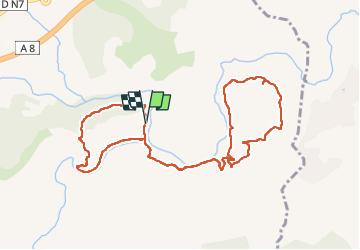

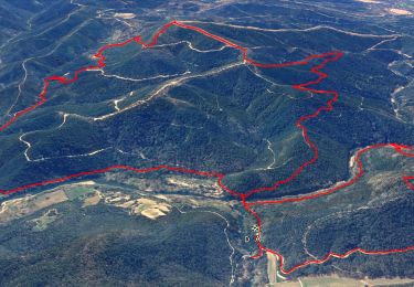
15,4 km | 22 km-effort


Utilisateur


Application GPS de randonnée GRATUITE
 SityTrail
IGN / Instituts géographiques
SityTrail World
Le monde est à vous
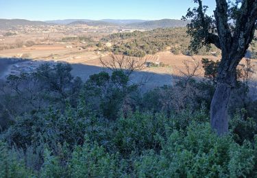
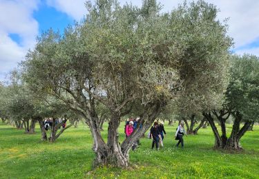
Randonnée Marche de 11,8 km à découvrir à Provence-Alpes-Côte d'Azur, Var, Les Arcs-sur-Argens. Cette randonnée est proposée par GeorgesV..
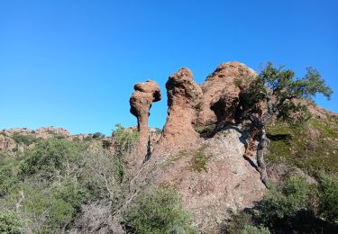
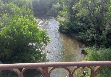
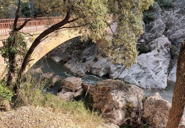
Sous un pont "Eiffel" l'Aille se jette dans l'Argens. La première boucle est un sentier découverte pour petits et grands où des panneaux décrivent la richesse de cette randonnée.
Marche

Marche
Marche
Marche
Marche
Marche

Marche
Marche
Marche