


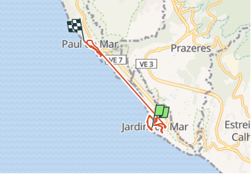

18,3 km | 30 km-effort

Utilisateur


Application GPS de randonnée GRATUITE
 SityTrail
IGN / Instituts géographiques
SityTrail World
Le monde est à vous
Randonnée Marche de 6,9 km à découvrir à Madère. Cette randonnée est proposée par patjobou.
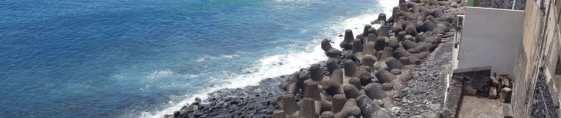
Finalement, on ne prendra pas le sentier piéton, car il n'est plus balisé et jugé dangereux à cause des chutes de pierres. On fera donc la liaison en voiture, et par le tunel ! Pr19 - [R 61].


Marche

Marche

Marche

Marche nordique


Marche
Marche