


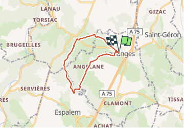


12,4 km | 18,4 km-effort


Utilisateur


Application GPS de randonnée GRATUITE
 SityTrail
IGN / Instituts géographiques
SityTrail World
Le monde est à vous
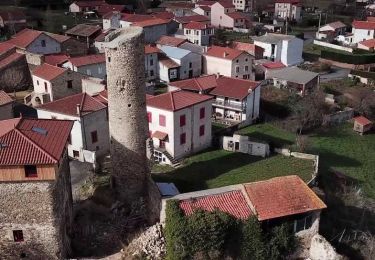
Randonnée Marche de 10 km à découvrir à Auvergne-Rhône-Alpes, Haute-Loire, Lorlanges. Cette randonnée est proposée par christianvic.
Accès au départ randonnée
Parking devant l'école, en bordure de la rue principale de Lorlanges.
Description zone
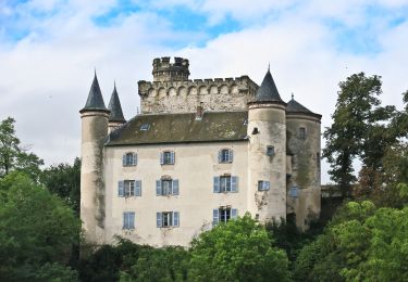
Ce circuit permet d'admirer de près les châteaux de Védrines et de Vernassal et, de loin, le château de Léotoing.
A pied

Marche
Marche
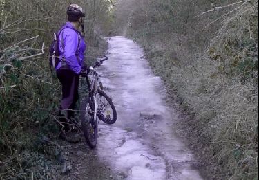
V.T.T.

Course à pied

Autre activité

V.T.T.

Marche
Marche