


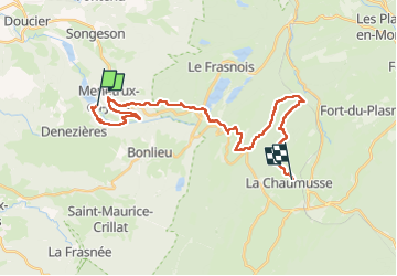

14,5 km | 20 km-effort

Utilisateur GUIDE


Application GPS de randonnée GRATUITE
 SityTrail
IGN / Instituts géographiques
SityTrail World
Le monde est à vous
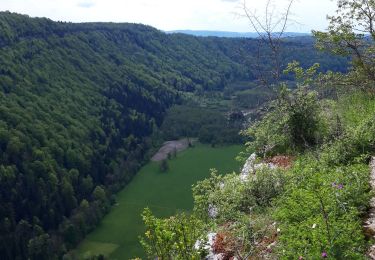
Randonnée Randonnée équestre de 28 km à découvrir à Bourgogne-Franche-Comté, Jura, Menétrux-en-Joux. Cette randonnée est proposée par holtzv.
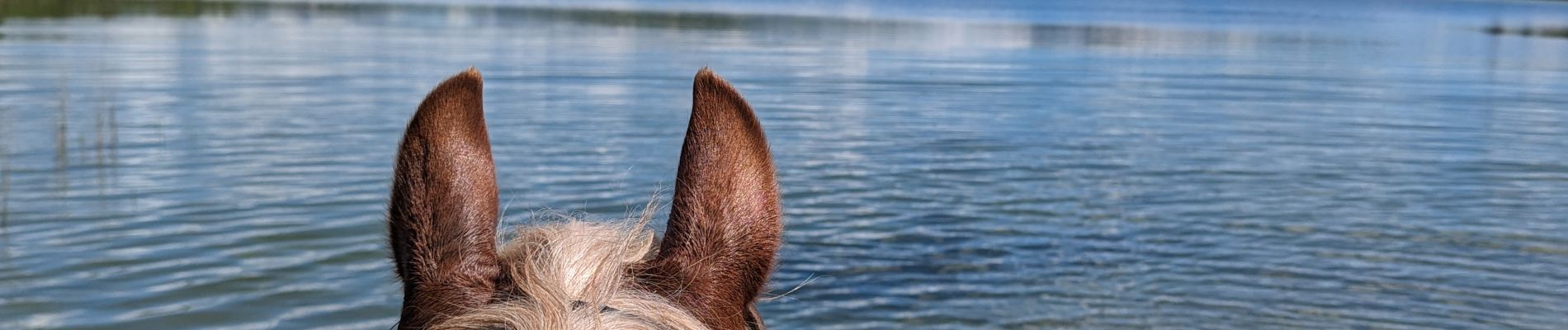
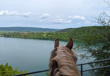
Rando CVA JURA Mai 2024 : Jour 2 sur 5
Journée à cheval depuis le Parc Heria vers les Attelages Grandvaux en passant par le lac de la Motte où il est facilement possible de rentrer dans l’eau avec les chevaux


Marche

Marche
V.T.T.

Marche

Marche

Marche
Marche
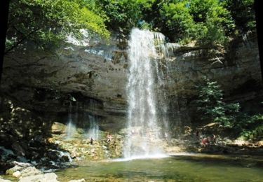
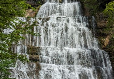
Randonnée équestre
Marche