


14,5 km | 20 km-effort

Utilisateur GUIDE


Application GPS de randonnée GRATUITE
 SityTrail
IGN / Instituts géographiques
SityTrail World
Le monde est à vous
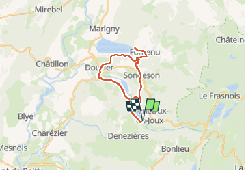
Randonnée Randonnée équestre de 23 km à découvrir à Bourgogne-Franche-Comté, Jura, Menétrux-en-Joux. Cette randonnée est proposée par holtzv.
Rando CVA JURA Mai 2024 : Jour 1 sur 5
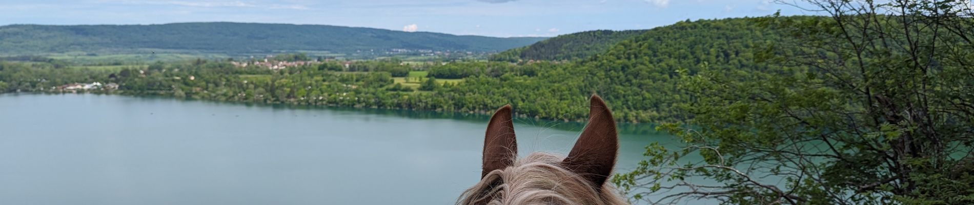
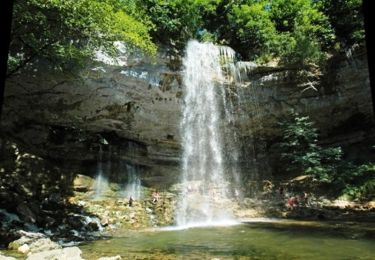
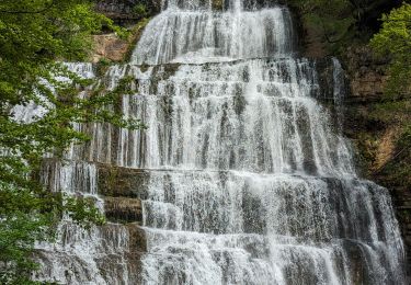
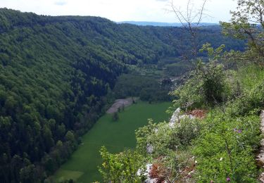
Boucle depuis le Parc Heria en passant par les lacs du Val, de Chambly et de Chalain et les belvédères sur la Roche, de la Frate, du Lac, et de Fontenu


Marche

Marche
V.T.T.

Marche

Marche

Marche
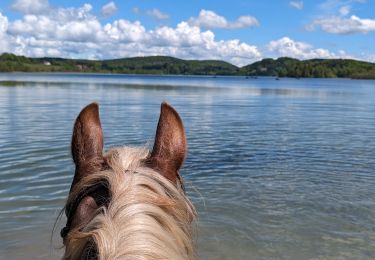
Randonnée équestre
Marche
Marche