


11,6 km | 15,6 km-effort


Randonnez sur et autour des GR ® wallons (Sentiers de Grande Randonnée). PRO


Application GPS de randonnée GRATUITE
 SityTrail
IGN / Instituts géographiques
SityTrail World
Le monde est à vous
Randonnée Marche de 14,2 km à découvrir à Wallonie, Luxembourg, Vielsalm. Cette randonnée est proposée par GR Rando.
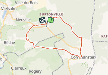
Autour de la clairière "So Bèchefa" : Vielsalm - Neuville
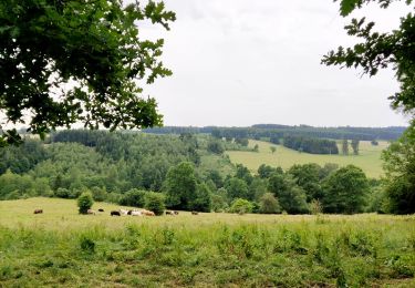
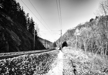
Dans quel type de paysage randonnons-nous ?
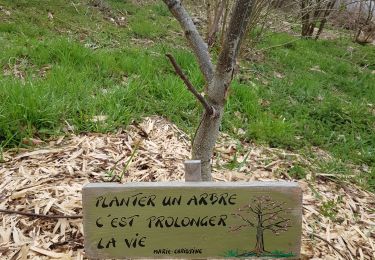
En démarrant à proximité d’un des points culminants de la région, non loin d’un Site de Grand Intérêt Biologique (SGIB), « La réserve des Quatre-Vents », nous allons sillonner la « forêt domaniale du Grand Bois ».
Où démarrons-nous ?
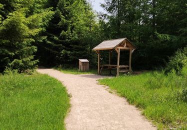
À Vielsalm-Neuville (carte Michelin n° 534, pli U/21), au lieu-dit « So Bèchefa », grande clairière, aire de pique-nique avec de nombreux barbecues, en face d’une maison forestière.
Comment y arriver ?
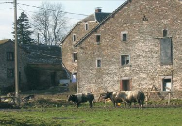
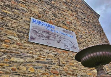
À Vielsalm, peu après ou avant l’église, quitter la N68 (Salm-Château - Trois-Ponts) pour prendre la N823 (Vielsalm - Commanster). On peut aussi rejoindre la route de Commanster en montant la rue Chars à Boeufs en face de l’office du tourisme, non loin de la gare. La clairière « So Bèchefa » et la maison forestière sont situées à un peu plus 4 km de Vielsalm (peu après un double virage en S).
Combien de kilomètres ?
14,3 km, ou 11,3 km en empruntant le raccourci.
Quelle difficulté ?
Aucune
Sur quel GR randonnons-nous ?
Les balises du GR 5 « Mer du Nord - Méditerranée » nous accompagnent sur un tronçon d’environ 4,5 km.
Quelle est la carte IGN de référence ?
Carte IGN au 1:20 000, 56/1-2 « Vielsalm - Recht » et 56/5-6 « Gouvy - Thommen ».
Que découvrons-nous aujourd’hui ?
Pourquoi ne pas profiter de la clairière de « So Bèchefa » pour y organiser un barbecue ?
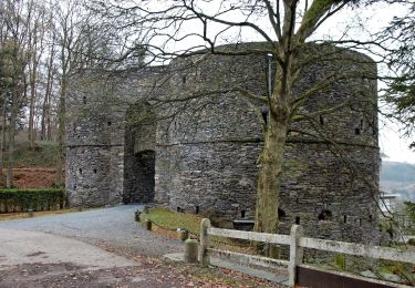
Après cela, on pourrait aller visiter la « Maison du Pays de Salm » et/ou le « Musée du Coticule » ?? Salm-Château.
Transports en commun ?
Bien qu’il y ait un arrêt (« Neuville - Maison forestière n° 122 ») à l’endroit du départ, les bus TEC n’y passent qu’occasionnellement, à des heures peu utiles au randonneur. Aucune alternative à proximité (la gare et le centre de Vielsalm sont à plus de 4 kilomètres).
Marche
Marche
Marche
Marche
Marche
Marche
Marche
Marche
A pied