


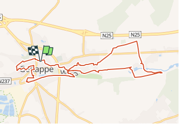

9,7 km | 12,5 km-effort


Utilisateur


Application GPS de randonnée GRATUITE
 SityTrail
IGN / Instituts géographiques
SityTrail World
Le monde est à vous
Randonnée Marche de 10,3 km à découvrir à Wallonie, Brabant wallon, Genappe. Cette randonnée est proposée par Z14.
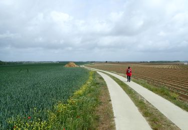
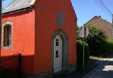
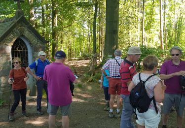
Balade à travers la campagne de Genappe jusqu' Thy. En finale de l'escapade, petit tour de la ville de Genappe. Un raccourci est possible au niveau de l'ancinne gare de Genappe...
Parking : rue du Cent-huitième de Ligen.

Marche

Marche

Marche

Marche

Marche

Marche
A pied
Marche
Marche