


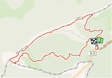

9,8 km | 17,3 km-effort

Utilisateur GUIDE


Application GPS de randonnée GRATUITE
 SityTrail
IGN / Instituts géographiques
SityTrail World
Le monde est à vous
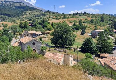
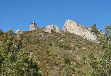
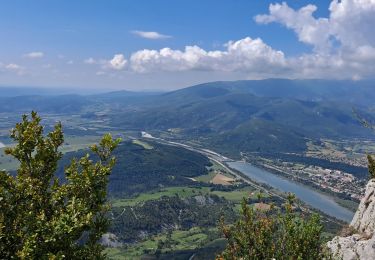
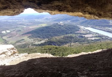
Randonnée Marche de 7,4 km à découvrir à Provence-Alpes-Côte d'Azur, Alpes-de-Haute-Provence, Saint-Geniez. Cette randonnée est proposée par nadd73.
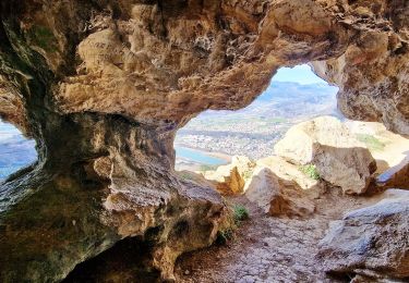
A cette époque profusion de thym en fleur. Une bergère bien sympathique avec 4patous et 3 chiens de troupeau.


Marche
Marche
Marche

Marche

Marche
Marche
Marche
Marche

A pied