


7,2 km | 11,2 km-effort

Utilisateur GUIDE


Application GPS de randonnée GRATUITE
 SityTrail
IGN / Instituts géographiques
SityTrail World
Le monde est à vous
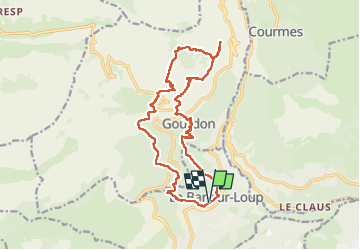
Randonnée Marche de 19,3 km à découvrir à Provence-Alpes-Côte d'Azur, Alpes-Maritimes, Le Bar-sur-Loup. Cette randonnée est proposée par jouans.
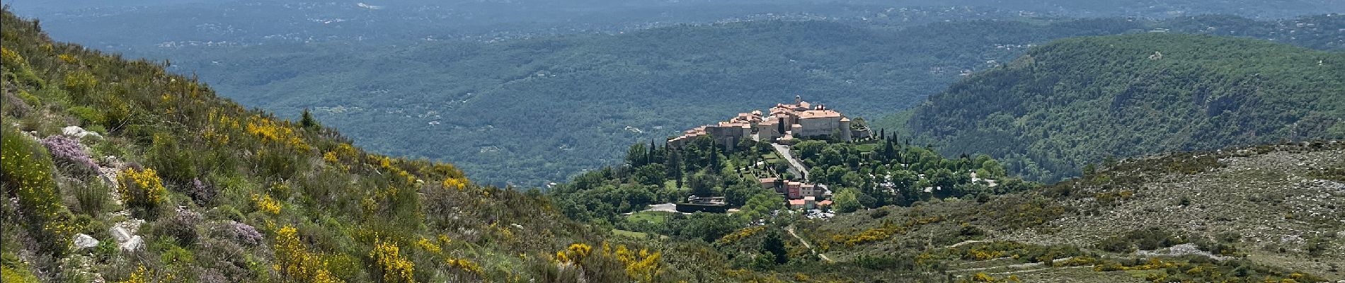
Le Bar sur Loup Gourdon Barre et plateau de Cavillore réel
Sortie éffectuée le 19/05/2024


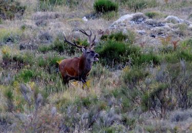
25 photos au total. Cliquez sur une photo pour les afficher toutes dans la galerie.

Marche

Marche

A pied

A pied

A pied

A pied
A pied

A pied

V.T.T.