14,3 km | 18,4 km-effort
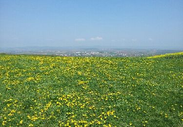
Atenckendorf Mai 2024
sgazaix
Utilisateur
Longueur
11,8 km
Altitude max
283 m
Dénivelé positif
189 m
Km-Effort
14,3 km
Altitude min
169 m
Dénivelé négatif
187 m
Boucle
Oui
Date de création :
2024-05-12 06:35:10.365
Dernière modification :
2024-05-12 09:37:10.059
2h38
Difficulté : Facile
Application GPS de randonnée GRATUITE
À propos
Randonnée Marche de 11,8 km à découvrir à Grand Est, Bas-Rhin, Alteckendorf. Cette randonnée est proposée par sgazaix.
Localisation
Pays :
France
Région :
Grand Est
Département/Province :
Bas-Rhin
Commune :
Alteckendorf
Localité :
Unknown
Départ:(Dec)
Départ:(UTM)
397350 ; 5405254 (32U) N.
Commentaires
Randonnées à proximité
La plus moche forêt d'Alsace !
Marche
Très facile
Mommenheim,
Grand Est,
Bas-Rhin,
France
917 m | 1 km-effort
18min
Non
Circuit VDN Morschwiller ErnolsheimLesSaverne
Randonnée équestre
Difficile
Morschwiller,
Grand Est,
Bas-Rhin,
France
29 km | 36 km-effort
4h 31min
Non
2020-08-23 Le peuplier noir de Hochfelden
Marche
Très facile
Hochfelden,
Grand Est,
Bas-Rhin,
France
5,2 km | 5,6 km-effort
2h 6min
Oui
Circuit VDN Morschwiller Boucle par Ettendorf Dauendorf
Randonnée équestre
Moyen
Morschwiller,
Grand Est,
Bas-Rhin,
France
19,7 km | 25 km-effort
3h 6min
Non
Circuit VDN Morschwiller Boucle par Kirrwiller
Randonnée équestre
Moyen
Morschwiller,
Grand Est,
Bas-Rhin,
France
23 km | 29 km-effort
3h 39min
Oui
Circuit VDN Morschwiller MerkwillerPechelbronn
Randonnée équestre
Difficile
Morschwiller,
Grand Est,
Bas-Rhin,
France
32 km | 38 km-effort
4h 48min
Non
Circuit VDN Morschwiller Wintzenheim
Randonnée équestre
Difficile
Morschwiller,
Grand Est,
Bas-Rhin,
France
30 km | 37 km-effort
4h 37min
Non
Circuit VDN Morschwiller Rothbach
Randonnée équestre
Moyen
Morschwiller,
Grand Est,
Bas-Rhin,
France
19,9 km | 24 km-effort
3h 1min
Non