

Altschlossfelsen et rocher de Diane

noelphil
Utilisateur

Longueur
7,2 km

Altitude max
398 m

Dénivelé positif
145 m

Km-Effort
9,2 km

Altitude min
290 m

Dénivelé négatif
165 m
Boucle
Non
Date de création :
2024-05-12 07:17:56.022
Dernière modification :
2024-05-14 14:07:16.417
2h05
Difficulté : Moyen

Application GPS de randonnée GRATUITE
À propos
Randonnée Marche de 7,2 km à découvrir à Grand Est, Moselle, Roppeviller. Cette randonnée est proposée par noelphil.
Description
petit circuit du côté du "Colorado" et léger détour par le rocher de Diane
Le tout en forêt de Roppeviller à cheval sur l'Allemagne.
Localisation
Pays :
France
Région :
Grand Est
Département/Province :
Moselle
Commune :
Roppeviller
Localité :
Unknown
Départ:(Dec)
Départ:(UTM)
391553 ; 5439700 (32U) N.
Commentaires
Randonnées à proximité
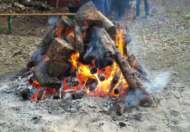
Le rocher de l'Altschlossfelsen


Marche
Facile
(2)
Roppeviller,
Grand Est,
Moselle,
France

13 km | 16,1 km-effort
3h 30min
Oui

Circuit du rocher de l'Altschlossfelsen


A pied
Facile
Roppeviller,
Grand Est,
Moselle,
France

7,1 km | 9,7 km-effort
2h 12min
Oui
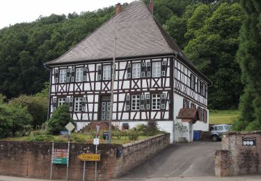
Eulenfels-Tour


A pied
Facile
Eppenbrunn,
Rhénanie-Palatinat,
Südwestpfalz,
Allemagne

11,7 km | 15,3 km-effort
3h 28min
Non
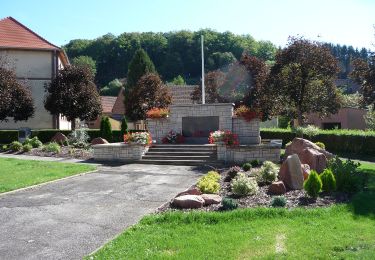
Anneau rouge


A pied
Facile
Schweix,
Rhénanie-Palatinat,
Südwestpfalz,
Allemagne

11,6 km | 14,3 km-effort
3h 15min
Oui

Rundwanderweg Eppenbrunn 4


A pied
Facile
Eppenbrunn,
Rhénanie-Palatinat,
Südwestpfalz,
Allemagne

7 km | 9,3 km-effort
2h 7min
Oui
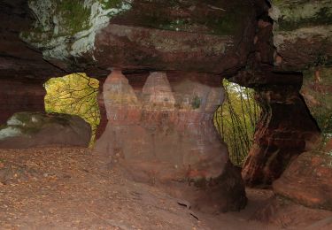
Rundwanderweg Eppenbrunn 3


A pied
Facile
Eppenbrunn,
Rhénanie-Palatinat,
Südwestpfalz,
Allemagne

4,2 km | 5,8 km-effort
1h 18min
Non

Grenzweg


A pied
Facile
Eppenbrunn,
Rhénanie-Palatinat,
Südwestpfalz,
Allemagne

11,3 km | 15 km-effort
3h 24min
Oui
Altschloßpfad


A pied
Facile
Eppenbrunn,
Rhénanie-Palatinat,
Südwestpfalz,
Allemagne

10 km | 13,4 km-effort
3h 3min
Oui

Disque rouge


A pied
Facile
Eppenbrunn,
Rhénanie-Palatinat,
Südwestpfalz,
Allemagne

9,6 km | 12,9 km-effort
2h 55min
Non


 SityTrail


