


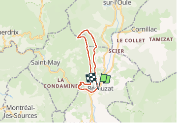

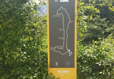
16 km | 29 km-effort

Utilisateur


Application GPS de randonnée GRATUITE
 SityTrail
IGN / Instituts géographiques
SityTrail World
Le monde est à vous
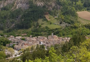
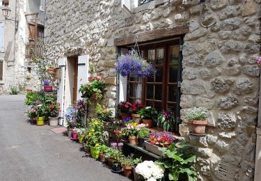
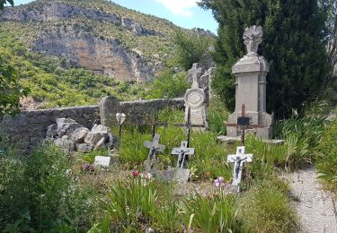
Randonnée Marche de 10,9 km à découvrir à Auvergne-Rhône-Alpes, Drôme, Rémuzat. Cette randonnée est proposée par scalpy.
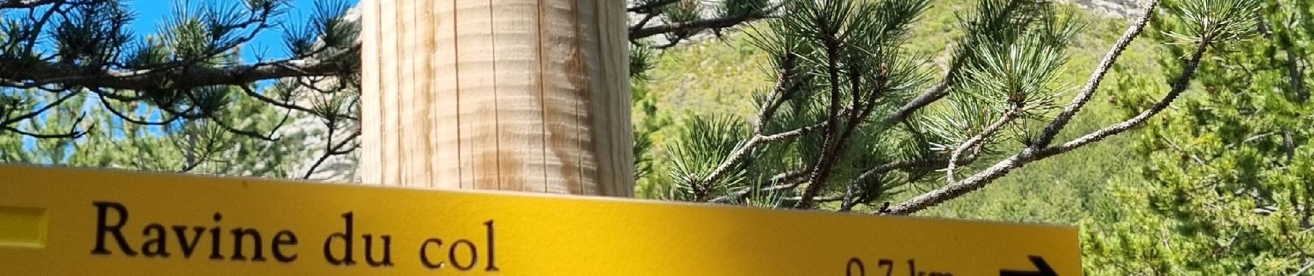
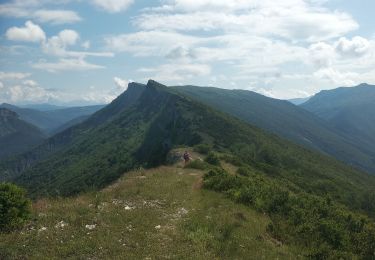
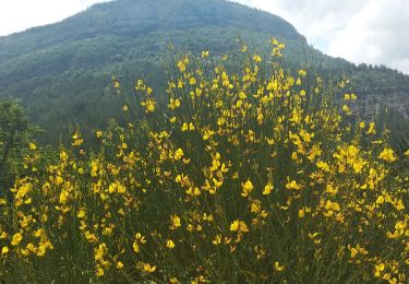
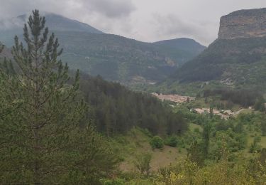
superbe randonnée qui offres de très beaux points de vues et permet d'observer les vautours. Quelques passages câblés mais très bien équipés. pas d'appréhension à avoir si vous avez l'habitude de marcher.


Marche
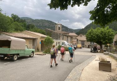
Marche nordique
Marche
Marche
Marche
Marche
Marche
Marche
Marche