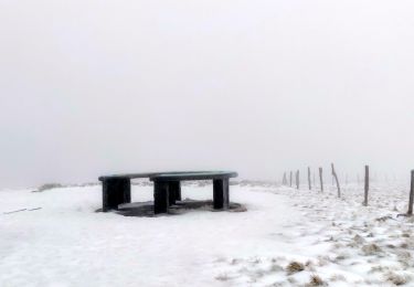
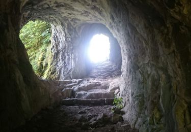
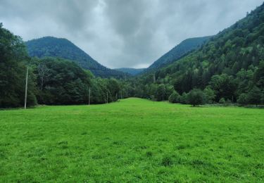
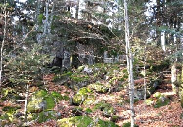
Randonnée Marche Kruth - Kruth (les Ventrons) Variante Grand Tétras 18 390m +859m - Photo

Kruth (les Ventrons) Variante Grand Tétras 18 390m +859m

 DanielROLLET
DanielROLLET

Utilisateur

© OpenStreetMap contributors
Longueur
Longueur
18,4 km
Altitude max
Altitude max
1203 m
Dénivelé positif
Dénivelé positif
859 m
Km-Effort
Km-Effort  
30 km
Altitude min
Altitude min
525 m
Dénivelé négatif
Dénivelé négatif
859 m
Boucle
Boucle
Oui
Date de création :
2024-05-08 06:35:17.779
Dernière modification :
2024-05-10 12:20:43.267

(0 Avis)

Marche
Marche
7h00
Difficulté : Difficile

Scannez ce code QR pour ouvrir la randonnée dans l'application SityTrail

Application GPS de randonnée GRATUITE

Logo SityTrail SityTrail

IGN / Instituts géographiques

Télécharger SityTrail sur l'App Store Télécharger SityTrail sur Google Play

Logo SityTrail SityTrail World

Le monde est à vous

Télécharger SityTrail sur l'App Store Télécharger SityTrail sur Google Play Télécharger SityTrail sur Huawei AppGallery

À propos

Randonnée Marche de 18,4 km à découvrir à Grand Est, Haut-Rhin, Kruth. Cette randonnée est proposée par DanielROLLET.

Description

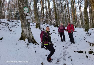
2024 05 08 - 8h40 à 15h40 - avec Marie
Départ/retour depuis l'entrée camping du Schlossberg.
Temps couvert et frais
GR531 interdit depuis le col de Blocklochkopf jusqu'au sommet Grand Ventron
Descente retour sur le camping difficile, rechercher un autre départ (stade de foot paf ex) avec un retour plus cool.

Profil altimétrique

Localisation

Pays :
France
Région :
Grand Est
Département/Province :
Haut-Rhin
Commune :
Kruth
Localité :
Unknown
Départ:(UTM)
347114 ; 5312024 (32T) N.

Randonnées à proximité

Randonnée Marche Wildenstein - 2022-02-20 Marche Kruth Grand Ventron - Photo
Marche
GUIDE
holtzv

Marche

Très difficile
(1)
Wildenstein, Grand Est, Haut-Rhin, France
16,8 km | 27 km-effort
4h 52min
Oui
Randonnée Marche Wildenstein - TREK ALSACIEN (boucle de Wildenstein) - Photo
Marche
Godasses et Grosses Pattes

Marche

Difficile
(1)
Wildenstein, Grand Est, Haut-Rhin, France
15,4 km | 24 km-effort
5h 20min
Oui
Randonnée Marche Fellering - Felsach _chapelle ST Nicolas_frenz - Photo
Marche
Le grand Claude

Marche

Difficile
(3)
Fellering, Grand Est, Haut-Rhin, France
9,6 km | 16,5 km-effort
3h 45min
Oui
Randonnée Marche Oderen - 68 Chapelle St Nicolas - FA du Felsach (1 + 2) - Photo
Marche

Marche

Moyen
(1)
Oderen, Grand Est, Haut-Rhin, France
10,9 km | 17,9 km-effort
3h 41min
Oui
Randonnée Marche Kruth - barrage de Wildenstein et Grand Ventron - Photo
Marche
egodard

Marche

Moyen
(1)
Kruth, Grand Est, Haut-Rhin, France
13,7 km | 24 km-effort
4h 40min
Oui
Randonnée Marche Oderen - TREK ALSACIEN (boucle, la meute) - Photo
Marche
Godasses et Grosses Pattes

Marche

Difficile
Oderen, Grand Est, Haut-Rhin, France
14,3 km | 23 km-effort
4h 30min
Oui
Randonnée Marche Wildenstein - TREK ALSACIEN (boucle sentier de la pierre sauvage) - Photo
Marche
Godasses et Grosses Pattes

Marche

Facile
Wildenstein, Grand Est, Haut-Rhin, France
5,3 km | 7,9 km-effort
2h 30min
Oui
Randonnée Marche Oderen - Oderen Bergenbach Langenbach - Photo
Marche
geishouse

Marche

Moyen
Oderen, Grand Est, Haut-Rhin, France
7,1 km | 11,6 km-effort
3h 40min
Non
Randonnée Marche Oderen - TREK ALSACIEN (1ère étape) - Photo
Marche
Godasses et Grosses Pattes

Marche

Moyen
Oderen, Grand Est, Haut-Rhin, France
9,2 km | 18,1 km-effort
4h 0min
Non


Fermer
Mes abonnements