


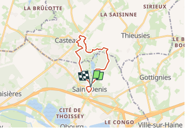


9,1 km | 10,3 km-effort

Utilisateur GUIDE


Application GPS de randonnée GRATUITE
 SityTrail
IGN / Instituts géographiques
SityTrail World
Le monde est à vous
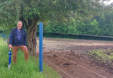
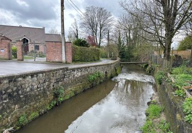
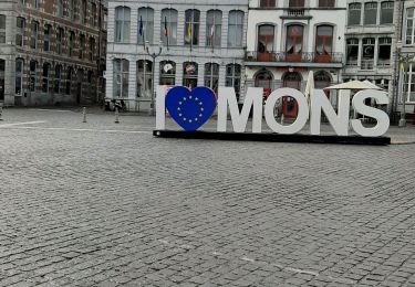
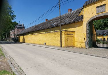
Randonnée Marche de 8,9 km à découvrir à Wallonie, Hainaut, Mons. Cette randonnée est proposée par Desrumaux.
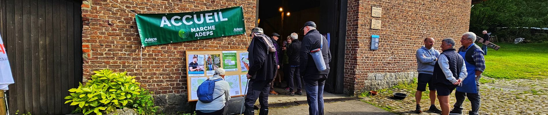
Très jolie marche Adeps au départ de l'abbaye de Saint Denis organisée par les Compagnons du vignoble de Saint Denis.
Départ abbaye de Saint Denis, rue de la Filature 4, 7034 Saint Denis (Mons).


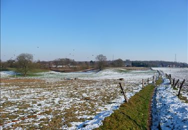
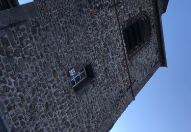
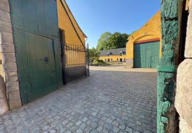
22 photos au total. Cliquez sur une photo pour les afficher toutes dans la galerie.
Marche

Marche
Marche
Marche
Marche

Marche
Marche
Marche