


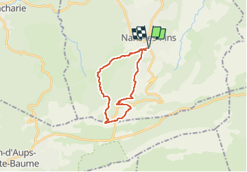


8,4 km | 15,5 km-effort

Utilisateur


Application GPS de randonnée GRATUITE
 SityTrail
IGN / Instituts géographiques
SityTrail World
Le monde est à vous
Randonnée Marche de 11,9 km à découvrir à Provence-Alpes-Côte d'Azur, Var, Nans-les-Pins. Cette randonnée est proposée par FSantoni.
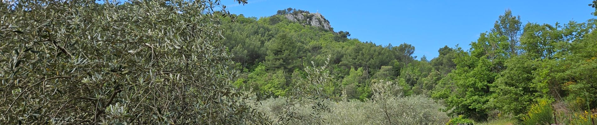
Une rando à faire ! Magnifique !


23 photos au total. Cliquez sur une photo pour les afficher toutes dans la galerie.

Marche

Marche

Marche

Marche

Marche

Marche

Marche

A pied

Marche