


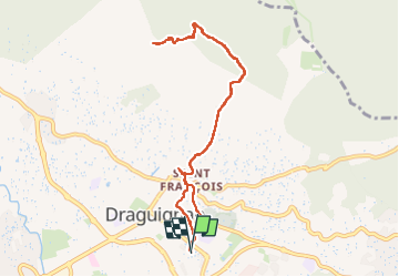

17,2 km | 23 km-effort

Utilisateur GUIDE


Application GPS de randonnée GRATUITE
 SityTrail
IGN / Instituts géographiques
SityTrail World
Le monde est à vous
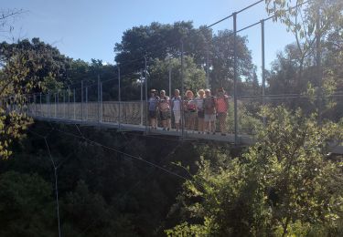
Randonnée Marche de 10 km à découvrir à Provence-Alpes-Côte d'Azur, Var, Draguignan. Cette randonnée est proposée par rvapeldo.
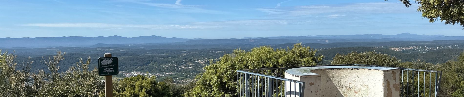
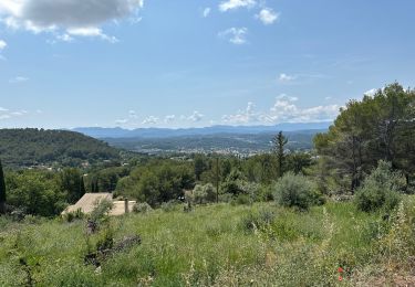
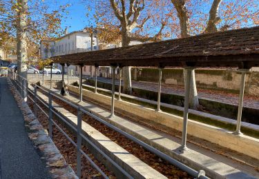
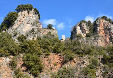
Promenade du centre de Draguignan avec le Malmont, mont dominant la ville. Parcours sans difficulté, en bonne partie abrité sous les arbres.


Marche

Marche
Marche

Marche
Marche
Marche
V.T.T.
V.T.T.
Marche