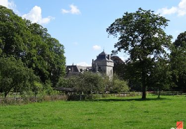
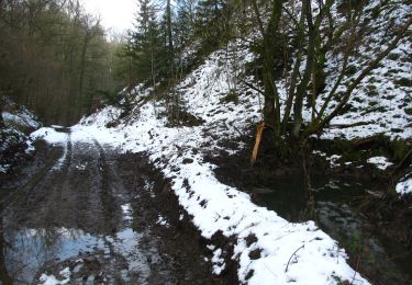
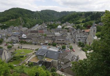
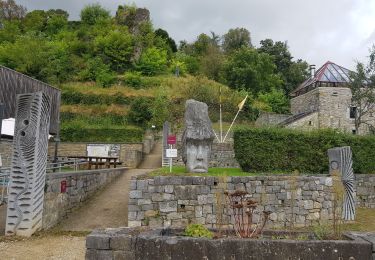
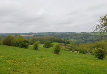
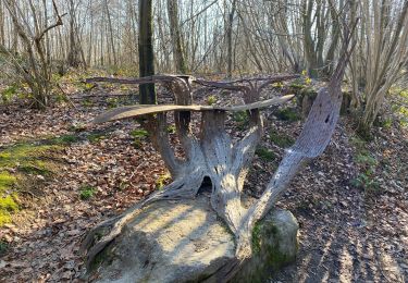
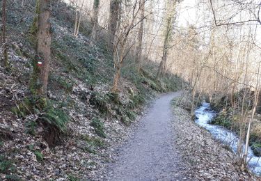
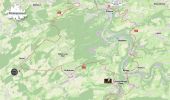
Randonnée Marche Hamoir - L'Epicurienne - Etape 1 - Photo

L'Epicurienne - Etape 1

 mumu.larandonneuse
mumu.larandonneuse

Utilisateur GUIDE

© OpenStreetMap contributors
Longueur
Longueur
16,1 km
Altitude max
Altitude max
288 m
Dénivelé positif
Dénivelé positif
394 m
Km-Effort
Km-Effort  
21 km
Altitude min
Altitude min
99 m
Dénivelé négatif
Dénivelé négatif
283 m
Boucle
Boucle
Non
Date de création :
2024-04-30 15:59:41.742
Dernière modification :
2024-04-30 16:51:27.768

(0 Avis)

Marche
Marche
4h46
Difficulté : Moyen

Scannez ce code QR pour ouvrir la randonnée dans l'application SityTrail

Application GPS de randonnée GRATUITE

Logo SityTrail SityTrail

IGN / Instituts géographiques

Télécharger SityTrail sur l'App Store Télécharger SityTrail sur Google Play

Logo SityTrail SityTrail World

Le monde est à vous

Télécharger SityTrail sur l'App Store Télécharger SityTrail sur Google Play Télécharger SityTrail sur Huawei AppGallery

À propos

Randonnée Marche de 16,1 km à découvrir à Wallonie, Liège, Hamoir. Cette randonnée est proposée par mumu.larandonneuse.

Description

🥾 A découvrir : le projet 'Itinérances, saveurs et découvertes en OVA'🍺🧀

➡️ Quatre boucles (combinables) de 3 jours via des hébergements « relais » (± 18km par étape).

• LA SYLVESTRE (itinéraire principalement en forêt)
Comblain-la-Tour/Ferrières/Harzé/Comblain-la-Tour.

•   L’ÉPICURIENNE (visite de nombreux producteurs)
Comblain-la-Tour/Tavier/Esneux/Comblain-la-Tour

•   LA PATRIMONIALE (grand nombre de sites remarquables)
Esneux/Chaudfontaine/Remouchamps/Esneux

•   LA TORRENTIELLE (itinéraire suivant régulièrement des rivières)
Harzé/Remouchamps/Stoumont/ Harzé

ℹ️ Informations : 04/384 35 44 -  info@ovatourisme.be
Itinerance@ovatourisme.be
➡️ https://ovatourisme.be/decouvertes-nature/itinerances/
.

Profil altimétrique

Photos

Localisation

Pays :
Belgique
Région :
Wallonie
Département/Province :
Liège
Commune :
Hamoir
Localité :
Unknown
Départ:(Dec)
Départ:(UTM)
682232 ; 5592465 (31U) N.

Randonnées à proximité

Randonnée Marche Hamoir - RB-Lg-19_Hamoir - Photo
Marche
PRO

Marche

Très difficile
(6)
Hamoir, Wallonie, Liège, Belgique
22 km | 28 km-effort
6h 18min
Oui
Randonnée Marche Comblain-au-Pont - RB-Lg-11_Pont-de-Sçay - Photo
Marche
PRO

Marche

Difficile
(15)
Comblain-au-Pont, Wallonie, Liège, Belgique
22 km | 30 km-effort
5h 45min
Oui
Randonnée Marche Ferrières - Rouge-Minière. Natura 2000, des sites qui valent le détour ! Lg 3 - Photo
Marche
GUIDE+

Marche

Facile
(17)
Ferrières, Wallonie, Liège, Belgique
6,8 km | 8,9 km-effort
Inconnu
Oui
Randonnée Marche Comblain-au-Pont - RF-Lg-04_Comblain-au-Pont_Grande-boucle - Photo
Marche
PRO

Marche

Très facile
(7)
Comblain-au-Pont, Wallonie, Liège, Belgique
12,6 km | 16,5 km-effort
3h 22min
Oui
Randonnée Marche Comblain-au-Pont - Comblain-au-Pont  (n°3 ) - Photo
Marche
GUIDE
mumu.larandonneuse

Marche

Facile
(2)
Comblain-au-Pont, Wallonie, Liège, Belgique
12,7 km | 15,3 km-effort
3h 28min
Oui
Randonnée Marche Comblain-au-Pont - Comblain-au-Pont - Promena - Photo
Marche
GUIDE
mumu.larandonneuse

Marche

Moyen
(3)
Comblain-au-Pont, Wallonie, Liège, Belgique
14 km | 18,1 km-effort
4h 6min
Oui
Randonnée Marche Comblain-au-Pont - Comblain-au-Pont [n°9] - Photo
Marche
GUIDE
mumu.larandonneuse

Marche

Facile
(2)
Comblain-au-Pont, Wallonie, Liège, Belgique
11,2 km | 14,3 km-effort
3h 15min
Oui
Randonnée Marche Hamoir - HAMOIR (Vallée du Neblon) - Photo
Marche
GUIDE
Michel1963

Marche

Moyen
(1)
Hamoir, Wallonie, Liège, Belgique
8,6 km | 11,4 km-effort
2h 28min
Oui
Randonnée A pied Anthisnes - AS03 Boucle de Tolumont - Photo
A pied
GUIDE+

A pied

Moyen
(1)
Anthisnes, Wallonie, Liège, Belgique
13,4 km | 17,6 km-effort
3h 20min
Oui


Fermer
Mes abonnements