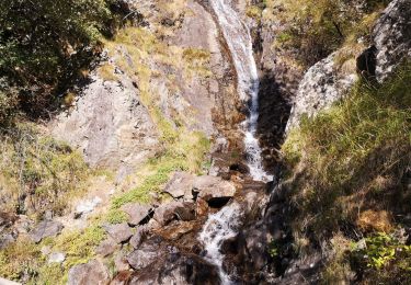
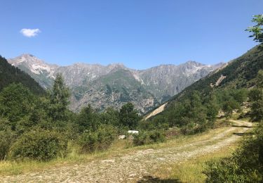
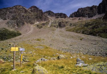
19,8 km | 46 km-effort
cabanes rochemont et salette
gibello
Utilisateur
Longueur
9,6 km
Altitude max
1843 m
Dénivelé positif
864 m
Km-Effort
21 km
Altitude min
989 m
Dénivelé négatif
866 m
Boucle
Oui
Date de création :
2024-04-30 06:59:48.017
Dernière modification :
2024-04-30 11:55:50.919
4h55
Difficulté : Moyen
Application GPS de randonnée GRATUITE
À propos
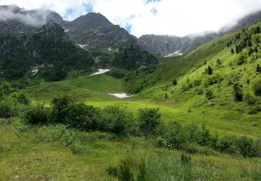
Randonnée Marche de 9,6 km à découvrir à Provence-Alpes-Côte d'Azur, Hautes-Alpes, Saint-Maurice-en-Valgodemard. Cette randonnée est proposée par gibello.
Description
depart st Maurice en valgo
Localisation
Pays :
France
Région :
Provence-Alpes-Côte d'Azur
Département/Province :
Hautes-Alpes
Commune :
Saint-Maurice-en-Valgodemard
Localité :
Unknown
Départ:(Dec)
Départ:(UTM)
270359 ; 4965379 (32T) N.
Commentaires
Randonnées à proximité
Pic Turbat
Marche
Très difficile
Villar-Loubière,
Provence-Alpes-Côte d'Azur,
Hautes-Alpes,
France
10h 26min
Oui
Saint-Maurice-en-Valgaudemard - l'Ubac - Vallon de Prentiq - 14.9km 810m 6h50...
Marche
Moyen
Saint-Maurice-en-Valgodemard,
Provence-Alpes-Côte d'Azur,
Hautes-Alpes,
France
14,9 km | 26 km-effort
6h 50min
Oui
Col des clochettes
Marche
Très difficile
Villar-Loubière,
Provence-Alpes-Côte d'Azur,
Hautes-Alpes,
France
14,1 km | 30 km-effort
5h 13min
Non
Valgo2 - J1 : Col des Clochettes
Marche
Difficile
Villar-Loubière,
Provence-Alpes-Côte d'Azur,
Hautes-Alpes,
France
14,6 km | 30 km-effort
4h 12min
Oui
Cime de Turbat.
Marche
Difficile
Villar-Loubière,
Provence-Alpes-Côte d'Azur,
Hautes-Alpes,
France
15,1 km | 32 km-effort
7h 31min
Non
Refuge des souffles.
Marche
Moyen
Villar-Loubière,
Provence-Alpes-Côte d'Azur,
Hautes-Alpes,
France
4,5 km | 13,7 km-effort
2h 1min
Non
Les pres hauts 6 kms
Marche
Saint-Firmin,
Provence-Alpes-Côte d'Azur,
Hautes-Alpes,
France
5,2 km | 9,6 km-effort
1h 55min
Oui
Valgaudemard - chalets de Prentiq
Marche
Moyen
Saint-Maurice-en-Valgodemard,
Provence-Alpes-Côte d'Azur,
Hautes-Alpes,
France
12 km | 21 km-effort
3h 38min
Oui
J2 Valgaudemard - l'Olan
Marche
Difficile
Villar-Loubière,
Provence-Alpes-Côte d'Azur,
Hautes-Alpes,
France
15,3 km | 30 km-effort
Inconnu
Non