


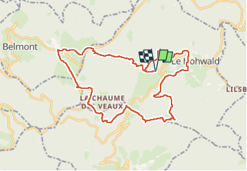

18,8 km | 26 km-effort

Utilisateur GUIDE


Application GPS de randonnée GRATUITE
 SityTrail
IGN / Instituts géographiques
SityTrail World
Le monde est à vous
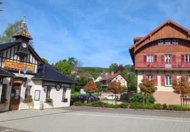
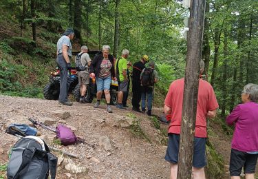
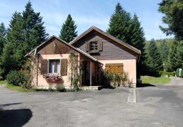
Randonnée Marche de 20 km à découvrir à Grand Est, Bas-Rhin, Le Hohwald. Cette randonnée est proposée par holtzv.
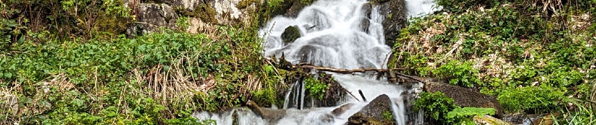
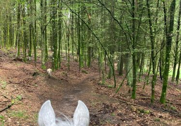
Marche depuis la cascade du Hohwald en passant par la source de l'Andlau, le champ du feu et sa tour, la chaume des veaux, col du kreuzweg et son parc aventures et la grande bellevue


Randonnée équestre

Marche
Randonnée équestre
Marche

Randonnée équestre
Randonnée équestre

A pied
Marche