Randonnée Marche Martel - Martel_Botanique - Photo

Martel_Botanique

 jagarnier
jagarnier

Utilisateur GUIDE

© OpenStreetMap contributors
Longueur
Longueur
11,7 km
Altitude max
Altitude max
301 m
Dénivelé positif
Dénivelé positif
306 m
Km-Effort
Km-Effort  
15,8 km
Altitude min
Altitude min
110 m
Dénivelé négatif
Dénivelé négatif
306 m
Boucle
Boucle
Oui
Date de création :
2024-04-28 14:04:26.908
Dernière modification :
2024-04-30 06:44:40.792

(1 Avis)

Marche
Marche
3h30
Difficulté : Moyen

Scannez ce code QR pour ouvrir la randonnée dans l'application SityTrail

Application GPS de randonnée GRATUITE

Logo SityTrail SityTrail

IGN / Instituts géographiques

Télécharger SityTrail sur l'App Store Télécharger SityTrail sur Google Play

Logo SityTrail SityTrail World

Le monde est à vous

Télécharger SityTrail sur l'App Store Télécharger SityTrail sur Google Play Télécharger SityTrail sur Huawei AppGallery

À propos

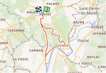
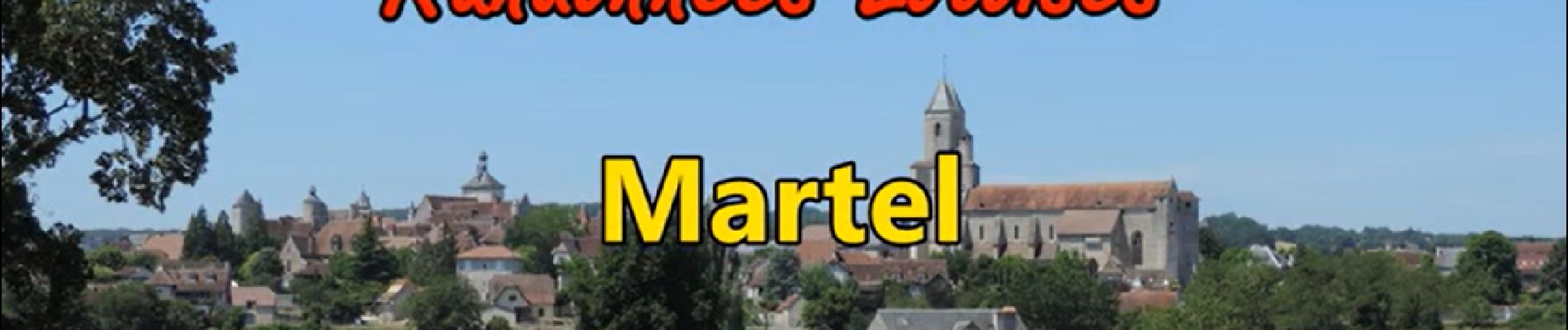
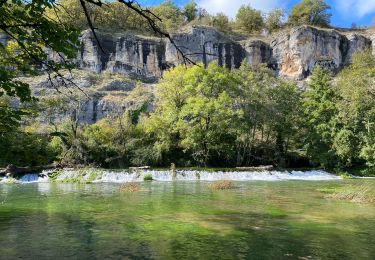
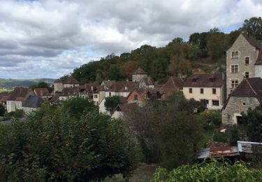
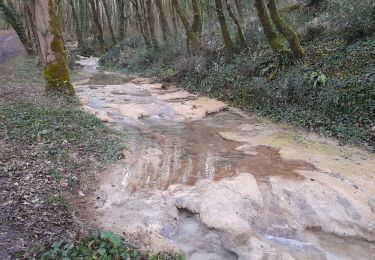
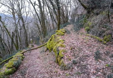
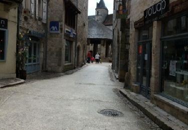
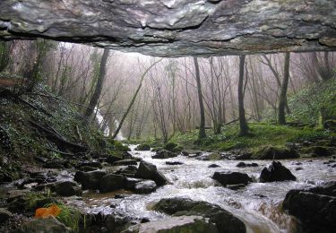
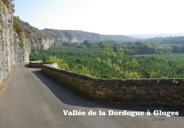
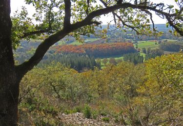
Randonnée Marche de 11,7 km à découvrir à Occitanie, Lot, Martel. Cette randonnée est proposée par jagarnier.

Profil altimétrique

Photos

Localisation

Pays :
France
Région :
Occitanie
Département/Province :
Lot
Commune :
Martel
Localité :
Unknown
Départ:(UTM)
390096 ; 4976759 (31T) N.

Commentaires

Veuillez vous connecter pour laisser un commentaire ou une note


Randonnées à proximité

Randonnée Marche Martel - Martel à Rocamadour  - Photo
Marche
Nono55

Marche

Moyen
Martel, Occitanie, Lot, France
22 km | 28 km-effort
5h 56min
Non
Randonnée Marche Floirac - autour de Floirac  - Photo
Marche
bellouelo46

Marche

Très facile
Floirac, Occitanie, Lot, France
16,5 km | 22 km-effort
4h 7min
Oui
Randonnée Marche Floirac - le caillon cirque de foirac  - Photo
Marche
bellouelo46

Marche

Très facile
Floirac, Occitanie, Lot, France
13,5 km | 18,8 km-effort
3h 13min
Oui
Randonnée Marche Martel - boucle pierre et eau - Photo
Marche
fab0202

Marche

Facile
Martel, Occitanie, Lot, France
11,7 km | 16,3 km-effort
2h 59min
Oui
Randonnée Marche Saint-Denis-lès-Martel - Vayrac par Uxelmodunum - Photo
Marche
neleda

Marche

Très facile
Saint-Denis-lès-Martel, Occitanie, Lot, France
15,7 km | 18,6 km-effort
3h 46min
Oui
Randonnée V.T.T. Floirac - Boucle Floirac - Montvalent par Le Pech Cayrou et Roque De Cor - Photo
V.T.T.
Gpoujade

V.T.T.

Facile
Floirac, Occitanie, Lot, France
30 km | 38 km-effort
18min
Oui
Randonnée Moto Martel - Martel-Carennac-Castelnau-Loubressac-Autoire-Saint Céré-Bretenoux - Photo
Moto
bernard_ostermann

Moto

Facile
Martel, Occitanie, Lot, France
116 km | 142 km-effort
2h 30min
Non
Randonnée Marche Martel - Le Mont Mercou depuis Martel - Photo
Marche
houbart

Marche

Difficile
Martel, Occitanie, Lot, France
12 km | 16,6 km-effort
3h 45min
Oui
Randonnée Marche Martel - Murel/Oeil de la Doue - Photo
Marche
Gaillard Isabelle

Marche

Facile
Martel, Occitanie, Lot, France
20 km | 28 km-effort
5h 28min
Oui


Fermer
Mes abonnements