


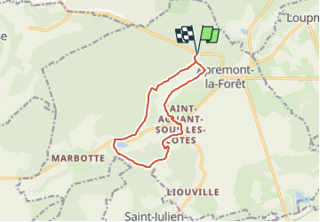

9 km | 11,6 km-effort


Utilisateur


Application GPS de randonnée GRATUITE
 SityTrail
IGN / Instituts géographiques
SityTrail World
Le monde est à vous
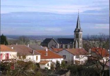
Randonnée Marche de 10,4 km à découvrir à Grand Est, Meuse, Apremont-la-Forêt. Cette randonnée est proposée par Nila81.
via étang de Ronval
Marche
Marche
Marche
Marche

A pied

Marche
Marche
Marche
Marche