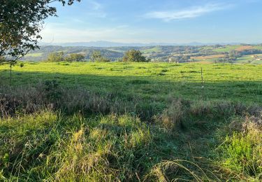
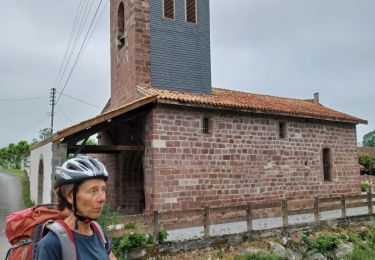
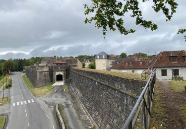
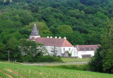
29 km | 36 km-effort
7 sauvelade
thonyc
Utilisateur GUIDE
Longueur
31 km
Altitude max
265 m
Dénivelé positif
556 m
Km-Effort
39 km
Altitude min
98 m
Dénivelé négatif
543 m
Boucle
Non
Date de création :
2024-04-22 06:15:50.693
Dernière modification :
2024-04-22 15:41:04.756
9h23
Difficulté : Difficile
Application GPS de randonnée GRATUITE
À propos
Randonnée Marche de 31 km à découvrir à Nouvelle-Aquitaine, Pyrénées-Atlantiques, Sauvelade. Cette randonnée est proposée par thonyc.
Localisation
Pays :
France
Région :
Nouvelle-Aquitaine
Département/Province :
Pyrénées-Atlantiques
Commune :
Sauvelade
Localité :
Unknown
Départ:(Dec)
Départ:(UTM)
685691 ; 4807224 (30T) N.
Commentaires
Randonnées à proximité
CC_Velay_GA_28_Sauvelade_Lichos_20090412
Marche
Facile
Sauvelade,
Nouvelle-Aquitaine,
Pyrénées-Atlantiques,
France
7h 0min
Non
2023 St Jacques étapes 4
Marche
Maslacq,
Nouvelle-Aquitaine,
Pyrénées-Atlantiques,
France
22 km | 29 km-effort
9h 34min
Non
sauvetage navarenx st palais St jean pied de port
V.T.T.
Moyen
Sauvelade,
Nouvelle-Aquitaine,
Pyrénées-Atlantiques,
France
75 km | 94 km-effort
10h 13min
Non
GR 65 Sauvelade > Navarrenx
Marche
Très facile
Sauvelade,
Nouvelle-Aquitaine,
Pyrénées-Atlantiques,
France
14,1 km | 17,9 km-effort
7h 1min
Non
Sauvelade
Marche
Facile
Sauvelade,
Nouvelle-Aquitaine,
Pyrénées-Atlantiques,
France
3,3 km | 4,7 km-effort
1h 0min
Oui
Compostelle Sauvelade a Aroue
Marche
Moyen
Sauvelade,
Nouvelle-Aquitaine,
Pyrénées-Atlantiques,
France
38 km | 46 km-effort
7h 28min
Non
Maslacq G4
Marche
Très facile
Maslacq,
Nouvelle-Aquitaine,
Pyrénées-Atlantiques,
France
13,2 km | 14,7 km-effort
5h 0min
Oui
maslacq-pomps
Marche
Très facile
Maslacq,
Nouvelle-Aquitaine,
Pyrénées-Atlantiques,
France
18,8 km | 22 km-effort
4h 53min
Non
Compostelle 30 - Maslacq -> Navarrenx
Marche
Moyen
Maslacq,
Nouvelle-Aquitaine,
Pyrénées-Atlantiques,
France
24 km | 31 km-effort
5h 59min
Non