


22 km | 24 km-effort

Utilisateur GUIDE


Application GPS de randonnée GRATUITE
 SityTrail
IGN / Instituts géographiques
SityTrail World
Le monde est à vous
Randonnée Marche de 22 km à découvrir à Centre-Val de Loire, Indre-et-Loire, Artannes-sur-Indre. Cette randonnée est proposée par Orcal37.
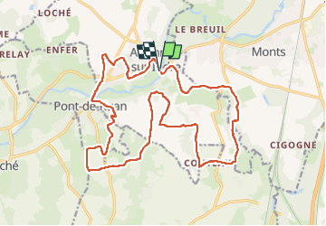
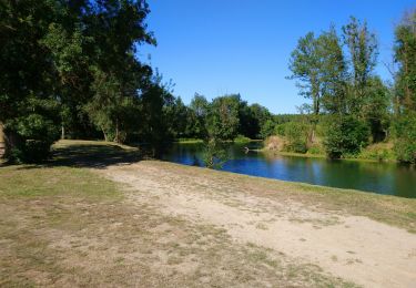
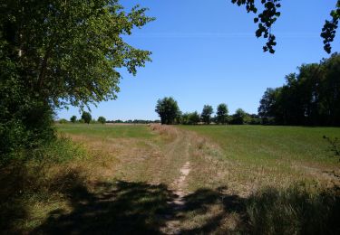
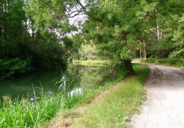
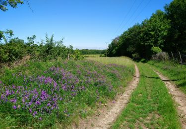
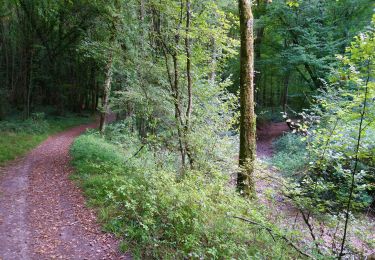
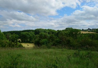
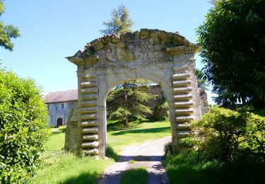
Artannes-sur-Indre - Zig zag - le Montison - Moulin de Balzac à Pont-de-Ruan - 22.1km 280m 4h50 (40mn) - 2024 04 22
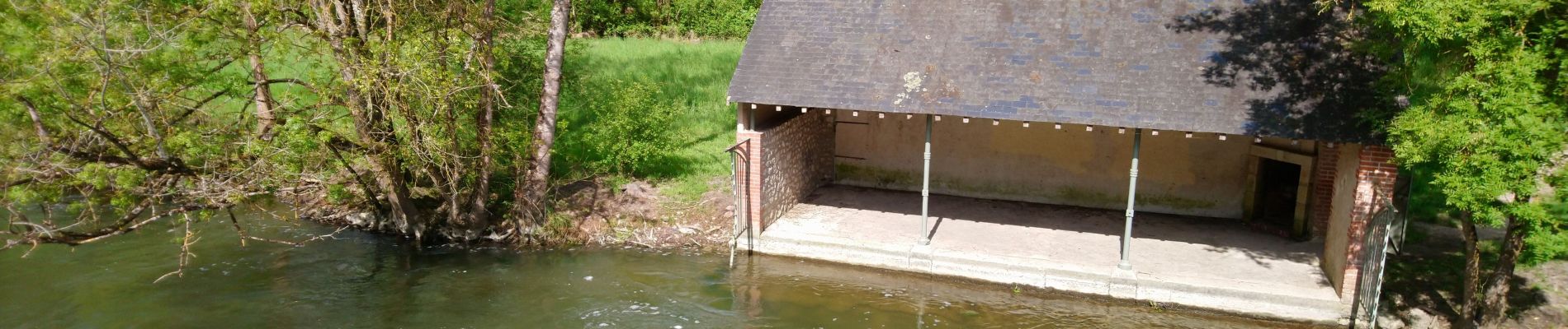
 - 2024 04 22 - Photo 1")
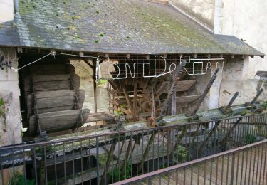
 - 2024 04 22 - Photo 2")
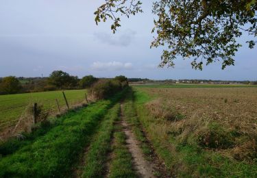
 - 2024 04 22 - Photo 3")
 - 2024 04 22 - Photo 4")
 - 2024 04 22 - Photo 5")
 - 2024 04 22 - Photo 6")
 - 2024 04 22 - Photo 7")
Marche
Marche
Marche
Marche
Marche
Marche
Marche
Marche
Marche