


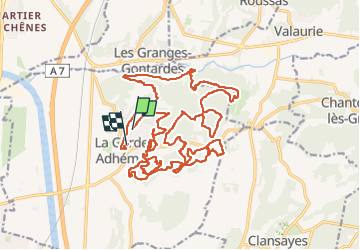

12,6 km | 16,6 km-effort


Utilisateur


Application GPS de randonnée GRATUITE
 SityTrail
IGN / Instituts géographiques
SityTrail World
Le monde est à vous
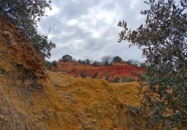
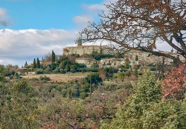
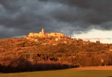
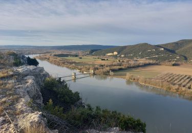
Randonnée de 30 km à découvrir à Auvergne-Rhône-Alpes, Drôme, La Garde-Adhémar. Cette randonnée est proposée par pierre.chau.
VTT
Marche

Marche
Marche

Marche

Marche
Marche

Marche

Marche
Marche