


30 km | 40 km-effort


Utilisateur


Application GPS de randonnée GRATUITE
 SityTrail
IGN / Instituts géographiques
SityTrail World
Le monde est à vous
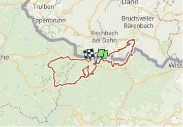
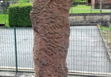
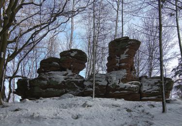
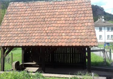
Randonnée Marche de 73 km à découvrir à Grand Est, Bas-Rhin, Obersteinbach. Cette randonnée est proposée par micheldutilleul.
Attention, une courte partie du tracé était à travers bois. Le chemin figurant sur la carte n'existait plus.
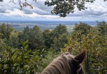
Randonnée équestre
Randonnée équestre

Randonnée équestre
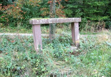
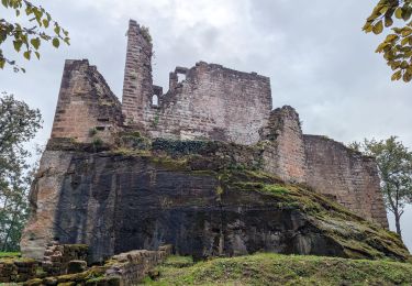
A pied

A pied
A pied
A pied

A pied