


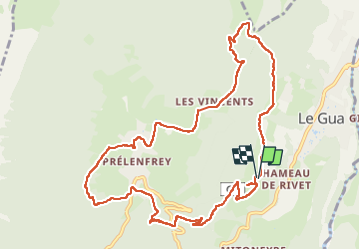

6,1 km | 10,8 km-effort


Utilisateur


Application GPS de randonnée GRATUITE
 SityTrail
IGN / Instituts géographiques
SityTrail World
Le monde est à vous
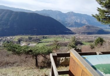
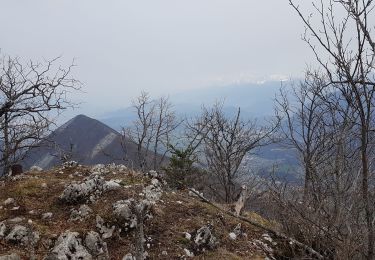
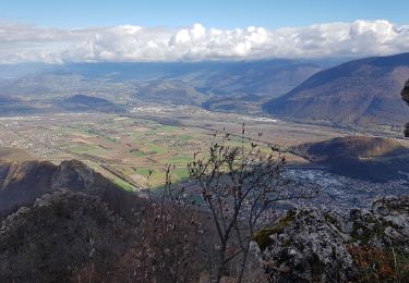
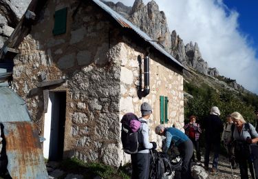
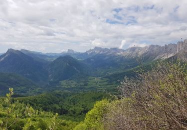
Randonnée Marche de 12,2 km à découvrir à Auvergne-Rhône-Alpes, Isère, Le Gua. Cette randonnée est proposée par rapako.
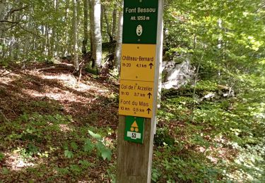
Un peu de marche sur des chemins ou routes bitumés.
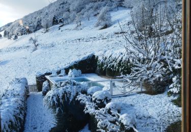
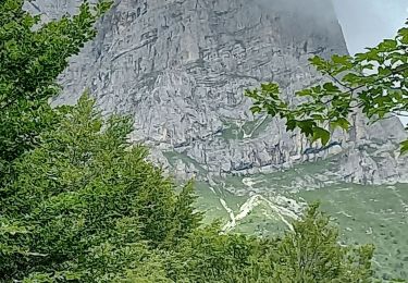
La forêt en haut de la boucle est magnifique, surtout avec des traces de neige.

Marche
Marche
Marche
Marche
Marche
Marche
Marche
Marche
Marche