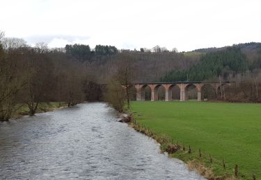
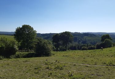
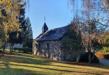
Randonnée Marche Trois-Ponts - RB-Lg-27_Trois-Ponts_via-racc - Photo

RB-Lg-27_Trois-Ponts_via-racc

Randonnez sur et autour des GR ® wallons (Sentiers de Grande Randonnée). PRO

© OpenStreetMap contributors
Longueur
Longueur
16,9 km
Altitude max
Altitude max
494 m
Dénivelé positif
Dénivelé positif
581 m
Km-Effort
Km-Effort  
25 km
Altitude min
Altitude min
219 m
Dénivelé négatif
Dénivelé négatif
581 m
Boucle
Boucle
Oui
Date de création :
2019-08-07 07:22:41.487
Dernière modification :
2024-04-26 13:12:16.049

(1 Avis)

Marche
Marche
5h36
Difficulté : Très difficile

Scannez ce code QR pour ouvrir la randonnée dans l'application SityTrail

Application GPS de randonnée GRATUITE

Logo SityTrail SityTrail

IGN / Instituts géographiques

Télécharger SityTrail sur l'App Store Télécharger SityTrail sur Google Play

Logo SityTrail SityTrail World

Le monde est à vous

Télécharger SityTrail sur l'App Store Télécharger SityTrail sur Google Play Télécharger SityTrail sur Huawei AppGallery

À propos

Randonnée Marche de 16,9 km à découvrir à Wallonie, Liège, Trois-Ponts. Cette randonnée est proposée par GR Rando.

Description

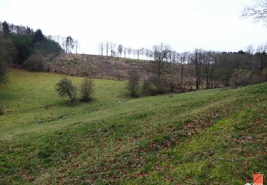
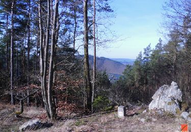
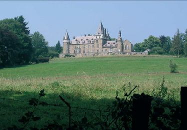
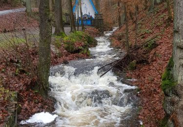
Les alentours de Trois-Ponts et de Coo sont essentiellement forestiers. Le relief accentué y met en exergue de nombreux panoramas ardennais. Au coeur de la nature, des vallons aux cours d’eau nerveux font la liaison avec des villages et hameaux typiques et paisibles.

Photos

Points d'intérêt

Point d'intérêt Trois-Ponts - Trois-Ponts - Photo
GR Rando
TROIS-PONTS 
Point d'intérêt Stavelot - Chemin - Photo
GR Rando
STAVELOT 
Point d'intérêt Stavelot - Télésiège de Coo - Photo
GR Rando
Point d'intérêt Stavelot - La Cascade de Coo - Photo
GR Rando
Point d'intérêt Stoumont - Le viaduc de la Venne - Photo
GR Rando
Point d'intérêt Trois-Ponts - Chapelle Saint-Hilaire - Photo
GR Rando

Localisation

Pays :
Belgique
Région :
Wallonie
Département/Province :
Liège
Commune :
Trois-Ponts
Localité :
Unknown
Départ:(UTM)
704285 ; 5583630 (31U) N.

Commentaires

Veuillez vous connecter pour laisser un commentaire ou une note


Randonnées à proximité

Randonnée Marche Trois-Ponts - RB-Lg-29_Wanne - Photo
Marche
PRO

Marche

(5)
Trois-Ponts, Wallonie, Liège, Belgique
22 km | 29 km-effort
6h 41min
Oui
Randonnée Marche Trois-Ponts - RB-Lg-27_Trois-Ponts - Photo
Marche
PRO

Marche

(7)
Trois-Ponts, Wallonie, Liège, Belgique
23 km | 33 km-effort
7h 30min
Oui
Randonnée Marche Stoumont - RB-Lg-13_Stoumont - Photo
Marche
PRO

Marche

Très difficile
(11)
Stoumont, Wallonie, Liège, Belgique
23 km | 32 km-effort
7h 19min
Oui
Randonnée Marche Stavelot - Extratrail_stavelot_13km_new - Photo
Marche
GUIDE
mumu.larandonneuse

Marche

Moyen
(2)
Stavelot, Wallonie, Liège, Belgique
13,4 km | 19,8 km-effort
4h 30min
Oui
Randonnée Marche Stoumont - La Gleize - P3 - Tour du Mont Saint-Victor - Photo
Marche
GUIDE
mumu.larandonneuse

Marche

Moyen
(3)
Stoumont, Wallonie, Liège, Belgique
15,8 km | 22 km-effort
5h 2min
Oui
Randonnée Marche Stavelot - Stavelot  - Photo
Marche
GUIDE
mumu.larandonneuse

Marche

Difficile
(3)
Stavelot, Wallonie, Liège, Belgique
18,8 km | 26 km-effort
5h 53min
Non
Randonnée Marche Stavelot - Chemin des Sources |étape n°3  STAVELOT – HOCKAI - Photo
Marche
PRO

Marche

Très difficile
(1)
Stavelot, Wallonie, Liège, Belgique
19 km | 25 km-effort
5h 45min
Non
Randonnée Marche Stoumont - stoumont . corniche - congo . chateau froidcourt . ambleve . stoumont - Photo
Marche
GUIDE
stef789

Marche

Très facile
(1)
Stoumont, Wallonie, Liège, Belgique
9,1 km | 12,1 km-effort
2h 44min
Oui
Randonnée Marche Lierneux - rando reharmont 6/11/2020 - Photo
Marche
GUIDE
japy54

Marche

Moyen
(3)
Lierneux, Wallonie, Liège, Belgique
18,4 km | 25 km-effort
4h 34min
Oui


Fermer
Mes abonnements