
2024-04 Porte de Pierre

Mich&Agnès
Utilisateur

Longueur
15,8 km

Altitude max
894 m

Dénivelé positif
604 m

Km-Effort
24 km

Altitude min
393 m

Dénivelé négatif
607 m
Boucle
Oui
Date de création :
2024-04-07 08:39:47.973
Dernière modification :
2024-04-07 14:10:09.945
3h53
Difficulté : Moyen

Application GPS de randonnée GRATUITE
À propos
Randonnée Marche de 15,8 km à découvrir à Grand Est, Bas-Rhin, Lutzelhouse. Cette randonnée est proposée par Mich&Agnès.
Description
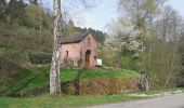
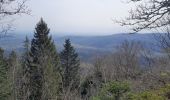
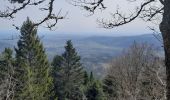
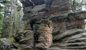
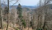
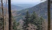
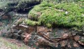
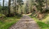
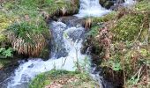
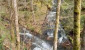
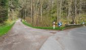
belle promenade dans les bois avec en prime une porte de pierre magnifique et plus loin au petit Katzenberg un promontoire qui fait de votre casse croûte un moment divin (s'il fait beau !)
Localisation
Pays :
France
Région :
Grand Est
Département/Province :
Bas-Rhin
Commune :
Lutzelhouse
Localité :
Unknown
Départ:(Dec)
Départ:(UTM)
372021 ; 5381146 (32U) N.
Commentaires
Randonnées à proximité
Cascade Soultzbach - Urmatt


Marche
Très difficile
(1)
Urmatt,
Grand Est,
Bas-Rhin,
France

14,9 km | 21 km-effort
4h 46min
Oui

2013-05-10 Marche Rocher de Mutzig par Nideck


Marche
Moyen
(1)
Lutzelhouse,
Grand Est,
Bas-Rhin,
France

14,9 km | 24 km-effort
4h 10min
Oui
Rando des Feuilles Mortes


V.T.T.
Moyen
(2)
Oberhaslach,
Grand Est,
Bas-Rhin,
France

29 km | 41 km-effort
2h 0min
Oui
2020-06-01 Marche Hengst


Marche
Très facile
Dabo,
Grand Est,
Moselle,
France

13,8 km | 18,7 km-effort
4h 18min
Oui
2019-11-16 Marche Wangenbourg Castelberg


Marche
Très facile
Wangenbourg-Engenthal,
Grand Est,
Bas-Rhin,
France

19,8 km | 31 km-effort
4h 51min
Oui

2017-02-24 Marche Schneeberg


Marche
Très facile
(1)
Wangenbourg-Engenthal,
Grand Est,
Bas-Rhin,
France

12,8 km | 19,9 km-effort
Inconnu
Oui
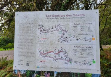
Lutzelhouse - sentier des géants


Marche
Très difficile
Urmatt,
Grand Est,
Bas-Rhin,
France

16,6 km | 24 km-effort
5h 25min
Oui
2024-01-12 Rando Polaire Abri Grossmann vers Abri Roule Bacon


Marche
Difficile
Abreschviller,
Grand Est,
Moselle,
France

23 km | 35 km-effort
7h 58min
Non


 SityTrail


