


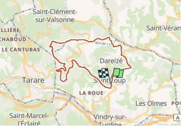

13,5 km | 21 km-effort

Utilisateur GUIDE


Application GPS de randonnée GRATUITE
 SityTrail
IGN / Instituts géographiques
SityTrail World
Le monde est à vous
Randonnée Marche de 16 km à découvrir à Auvergne-Rhône-Alpes, Rhône, Vindry-sur-Turdine. Cette randonnée est proposée par dudu42.
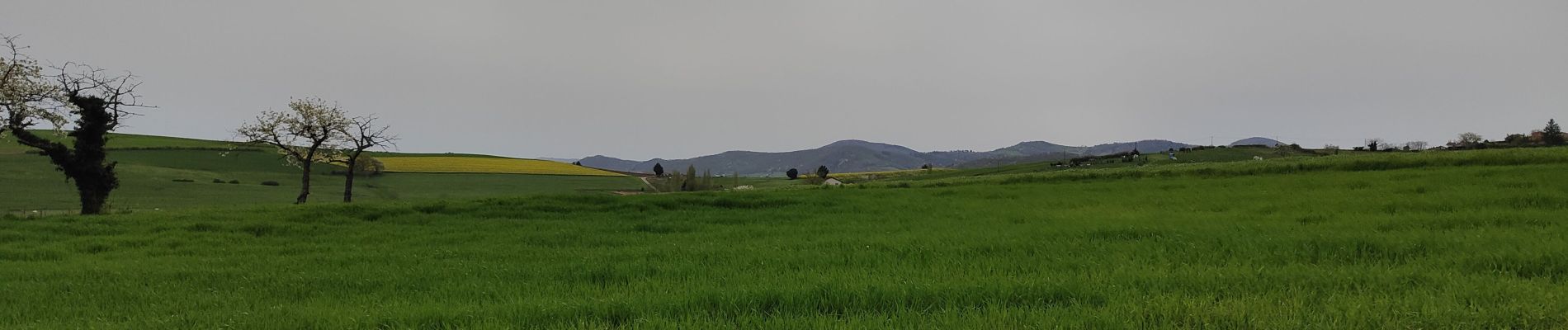
Beaux panoramas sur les montagnes environnantes.
Bois très agréables à traverser.
Peu de monde.
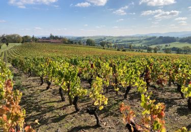
Fin de parcours au milieu des vignes du beaujolais.


Marche
Marche

Course à pied
Marche
V.T.T.
Marche

A pied
Marche
Marche