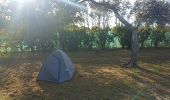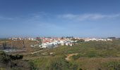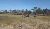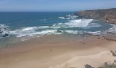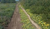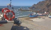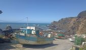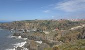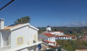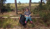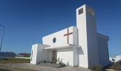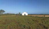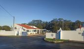

PORTUGAL 2024 Aljesur to Zambujeira

jeff2
Utilisateur

Longueur
38 km

Altitude max
135 m

Dénivelé positif
606 m

Km-Effort
46 km

Altitude min
2 m

Dénivelé négatif
574 m
Boucle
Non
Date de création :
2024-04-03 06:34:08.611
Dernière modification :
2024-04-03 17:42:13.654
9h54
Difficulté : Moyen

Application GPS de randonnée GRATUITE
À propos
Randonnée Marche de 38 km à découvrir à Algarve, Faro, Aljezur. Cette randonnée est proposée par jeff2.
Description
Belle journée, une partie en interieure du pays, petits villages et re le long de la mar.
Je verrai plus haut pour entrer un peu plus dans l'arrière pays.
Localisation
Pays :
Portugal
Région :
Algarve
Département/Province :
Faro
Commune :
Aljezur
Localité :
Unknown
Départ:(Dec)
Départ:(UTM)
517399 ; 4130074 (29S) N.
Commentaires
Randonnées à proximité

Etape 4 ALJEZUR SAGRES


Vélo
Très facile
Aljezur,
Algarve,
Faro,
Portugal

56 km | 66 km-effort
4h 0min
Non

w-portugal-langs-de-aljezurrivier


Marche
Très facile
Aljezur,
Algarve,
Faro,
Portugal

10,1 km | 13,6 km-effort
Inconnu
Oui

w-portugal-kustwandeling-ten-westen-van-aljezur


Marche
Très facile
Aljezur,
Algarve,
Faro,
Portugal

3,6 km | 4,5 km-effort
Inconnu
Non


aljezur - arrifana


Marche
Très facile
Aljezur,
Algarve,
Faro,
Portugal

12,3 km | 16 km-effort
3h 59min
Non

B - Praia da Amoreira - 7 Km


Marche
Facile
Aljezur,
Algarve,
Faro,
Portugal

7,2 km | 8,6 km-effort
1h 51min
Oui

B - Ponta da Atalaia - 22 Km


Marche
Difficile
Aljezur,
Algarve,
Faro,
Portugal

21 km | 26 km-effort
5h 39min
Oui


 SityTrail


