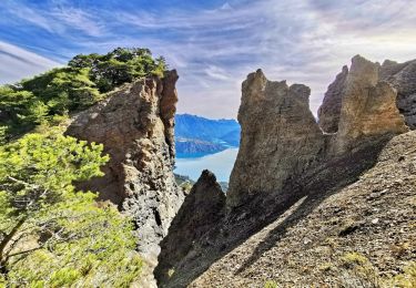
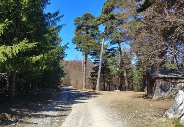
8 km | 12,6 km-effort
gaufy
afab05
Utilisateur
Longueur
2,8 km
Altitude max
1328 m
Dénivelé positif
79 m
Km-Effort
3,9 km
Altitude min
1244 m
Dénivelé négatif
97 m
Boucle
Non
Date de création :
2024-04-02 06:56:40.123
Dernière modification :
2024-04-02 09:02:25.276
1h26
Difficulté : Facile
Application GPS de randonnée GRATUITE
À propos
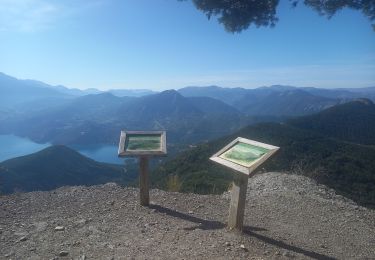
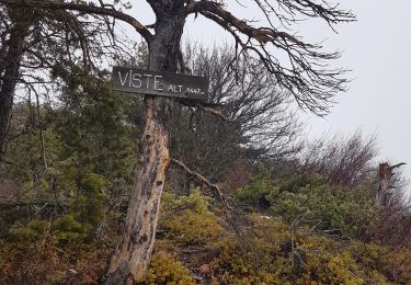
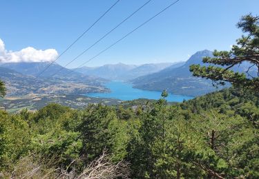
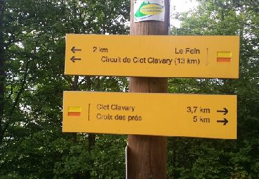
Randonnée Marche de 2,8 km à découvrir à Provence-Alpes-Côte d'Azur, Hautes-Alpes, Montgardin. Cette randonnée est proposée par afab05.
Localisation
Pays :
France
Région :
Provence-Alpes-Côte d'Azur
Département/Province :
Hautes-Alpes
Commune :
Montgardin
Localité :
Unknown
Départ:(Dec)
Départ:(UTM)
279747 ; 4933421 (32T) N.
Commentaires
Randonnées à proximité
clôt c l'avais sur fein
Marche
Très facile
(2)
Chorges,
Provence-Alpes-Côte d'Azur,
Hautes-Alpes,
France
2h 24min
Oui
Montagne du Ruban
Marche
Facile
(2)
Chorges,
Provence-Alpes-Côte d'Azur,
Hautes-Alpes,
France
11 km | 17,4 km-effort
3h 39min
Non
Clôt Clavary 3.9.23
Marche
Facile
Chorges,
Provence-Alpes-Côte d'Azur,
Hautes-Alpes,
France
7,1 km | 11,6 km-effort
2h 0min
Oui
La Viste
Marche
Moyen
Rousset,
Provence-Alpes-Côte d'Azur,
Hautes-Alpes,
France
5,6 km | 10,4 km-effort
1h 50min
Oui
Bois du Ruban (Clot Clavary - crête du Ruban)
Marche
Facile
Chorges,
Provence-Alpes-Côte d'Azur,
Hautes-Alpes,
France
12,1 km | 19,3 km-effort
3h 52min
Oui
Chorges montagne du bois du Ruban
Marche
Moyen
Chorges,
Provence-Alpes-Côte d'Azur,
Hautes-Alpes,
France
10,7 km | 17 km-effort
3h 52min
Oui
20200929_La Viste par Clos Morel
Marche
Moyen
Rousset,
Provence-Alpes-Côte d'Azur,
Hautes-Alpes,
France
13,7 km | 23 km-effort
5h 46min
Oui
Circuit de Serre Cocu.
Marche
Facile
Chorges,
Provence-Alpes-Côte d'Azur,
Hautes-Alpes,
France
4,5 km | 6,8 km-effort
1h 58min
Oui
20190331_Clot Clavary
Marche
Facile
Chorges,
Provence-Alpes-Côte d'Azur,
Hautes-Alpes,
France
10,3 km | 15,7 km-effort
2h 46min
Oui