


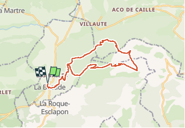


11,7 km | 19,4 km-effort

Utilisateur


Application GPS de randonnée GRATUITE
 SityTrail
IGN / Instituts géographiques
SityTrail World
Le monde est à vous
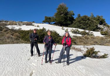
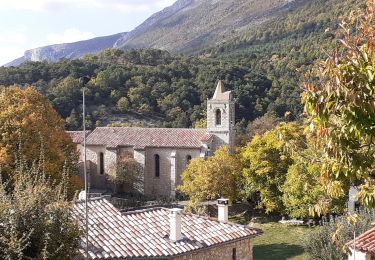
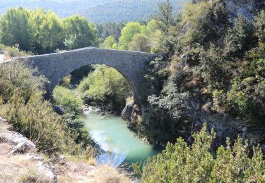
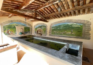
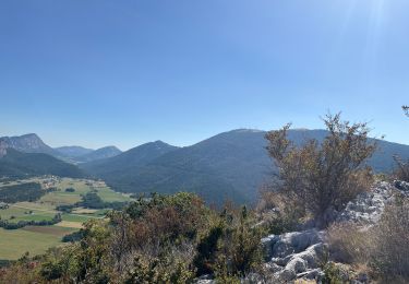
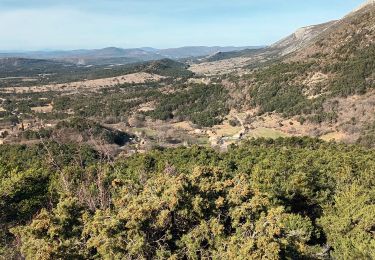
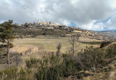
Randonnée Marche de 18,8 km à découvrir à Provence-Alpes-Côte d'Azur, Var, La Bastide. Cette randonnée est proposée par ETMU5496.
Le Lachens sommet et tour
fait avril 2024
IBP 128


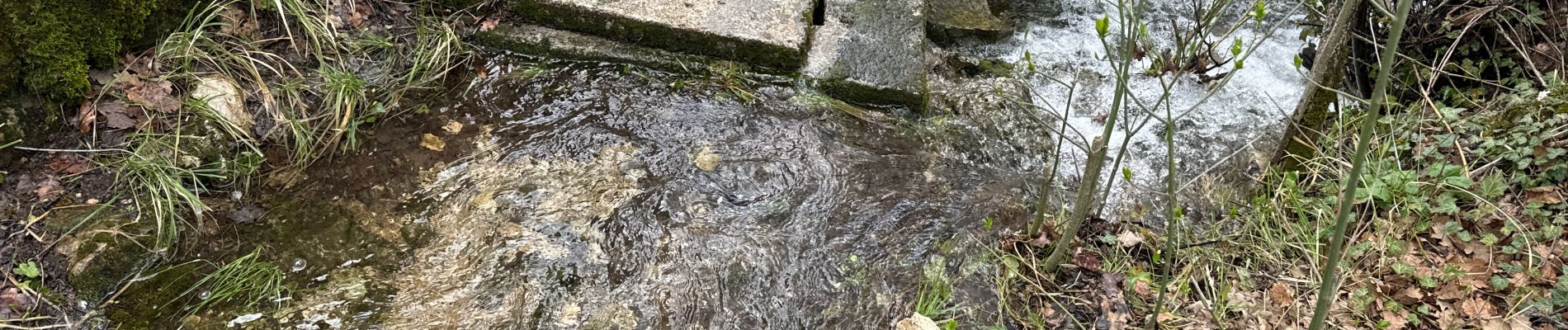
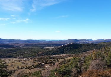
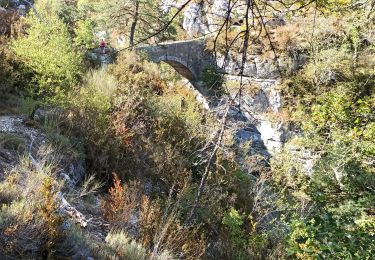
24 photos au total. Cliquez sur une photo pour les afficher toutes dans la galerie.
Marche
Marche
Marche
Marche
Marche
Marche

sport
Marche
Marche