


11,8 km | 12,9 km-effort


Utilisateur


Application GPS de randonnée GRATUITE
 SityTrail
IGN / Instituts géographiques
SityTrail World
Le monde est à vous
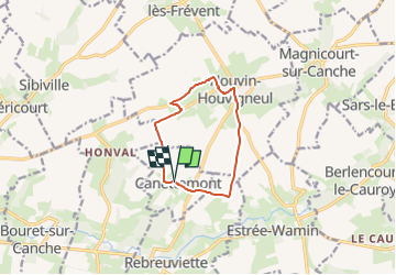
Randonnée Marche de 8,2 km à découvrir à Hauts-de-France, Pas-de-Calais, Canettemont. Cette randonnée est proposée par temmichel.
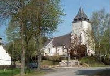
Randonnée au départ de l'église de CANETTEMONT pour rejoindre par le chemin de Saint Pol la commune d'HOUVIN HOUVIGNEUL, Descendre vers la vallée de la Canche pour retrouver le point de départ
Bonne randonnée
Jean-Michel
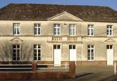
 Le chemin de Saint Pol - Photo 1")
Marche
Marche
Marche
Marche

Marche
Marche
Marche
Marche
Marche