


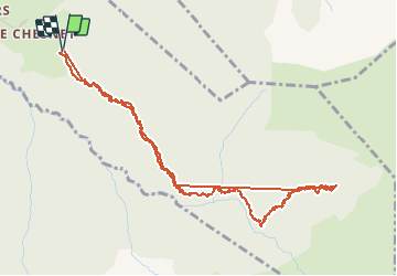

9,5 km | 20 km-effort


Utilisateur


Application GPS de randonnée GRATUITE
 SityTrail
IGN / Instituts géographiques
SityTrail World
Le monde est à vous
Randonnée Marche de 6,2 km à découvrir à Auvergne-Rhône-Alpes, Haute-Savoie, La Roche-sur-Foron. Cette randonnée est proposée par tjrp_fr.
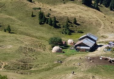
montée jusqu'au dessus du chalet de Balme, mais traversée jusqu'au chalet impossible sans raquettes, alors demi-tout
Marche
Marche
Marche

Marche
Marche
Marche
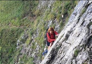
Marche
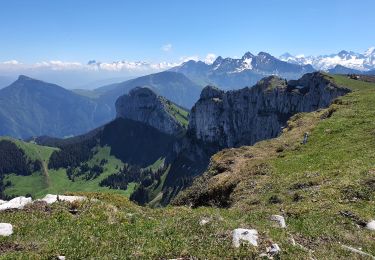
Marche
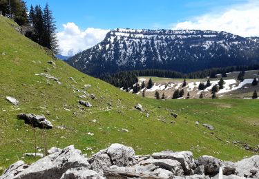
Marche