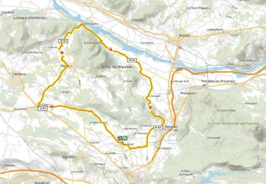
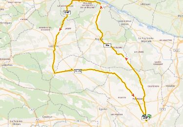
6,2 km | 6,9 km-effort
Puyricard Village
MAUVAGE Patrick
Utilisateur
Longueur
3 km
Altitude max
307 m
Dénivelé positif
25 m
Km-Effort
3,3 km
Altitude min
288 m
Dénivelé négatif
26 m
Boucle
Oui
Date de création :
2024-03-24 14:29:51.0
Dernière modification :
2024-03-24 16:23:07.545
45m
Difficulté : Facile
Application GPS de randonnée GRATUITE
À propos
Randonnée Marche de 3 km à découvrir à Provence-Alpes-Côte d'Azur, Bouches-du-Rhône, Aix-en-Provence. Cette randonnée est proposée par MAUVAGE Patrick.
Localisation
Pays :
France
Région :
Provence-Alpes-Côte d'Azur
Département/Province :
Bouches-du-Rhône
Commune :
Aix-en-Provence
Localité :
Unknown
Départ:(Dec)
Départ:(UTM)
695518 ; 4828132 (31T) N.
Commentaires
Randonnées à proximité
GB le grand st Jean
Marche
Moyen
Aix-en-Provence,
Provence-Alpes-Côte d'Azur,
Bouches-du-Rhône,
France
1h 56min
Oui
Puyricard St Christope D+720m
Vélo de route
Très difficile
Aix-en-Provence,
Provence-Alpes-Côte d'Azur,
Bouches-du-Rhône,
France
53 km | 62 km-effort
3h 46min
Oui
13_Aix_Vauvenargues_J1_rea_corrigé
Marche
Difficile
Aix-en-Provence,
Provence-Alpes-Côte d'Azur,
Bouches-du-Rhône,
France
18,8 km | 25 km-effort
4h 56min
Non
Oppidum Sylvacane D+903m
Vélo de route
Très difficile
Aix-en-Provence,
Provence-Alpes-Côte d'Azur,
Bouches-du-Rhône,
France
58 km | 70 km-effort
4h 15min
Oui
Château du Seuil
Marche
Facile
Aix-en-Provence,
Provence-Alpes-Côte d'Azur,
Bouches-du-Rhône,
France
9,7 km | 12,3 km-effort
2h 4min
Oui
Venelles col des portes
V.T.T.
Moyen
Venelles,
Provence-Alpes-Côte d'Azur,
Bouches-du-Rhône,
France
44 km | 56 km-effort
4h 22min
Oui
grand SAINT jean
Marche
Moyen
Aix-en-Provence,
Provence-Alpes-Côte d'Azur,
Bouches-du-Rhône,
France
6,5 km | 7,3 km-effort
1h 24min
Non
TEDDY59
Marche
Moyen
Aix-en-Provence,
Provence-Alpes-Côte d'Azur,
Bouches-du-Rhône,
France
5,8 km | 6,5 km-effort
1h 30min
Oui
Gb Autour du grand St jean Aix/Puyricard
Marche
Moyen
Aix-en-Provence,
Provence-Alpes-Côte d'Azur,
Bouches-du-Rhône,
France
7,1 km | 7,9 km-effort
1h 48min
Oui