


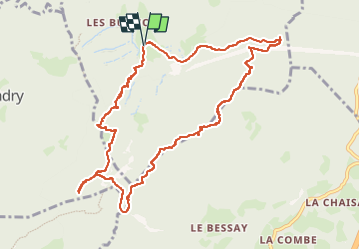

7,7 km | 28 km-effort

Utilisateur


Application GPS de randonnée GRATUITE
 SityTrail
IGN / Instituts géographiques
SityTrail World
Le monde est à vous
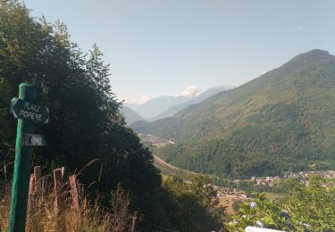
Randonnée Marche de 11,5 km à découvrir à Auvergne-Rhône-Alpes, Savoie, Montgilbert. Cette randonnée est proposée par jibebouvier.
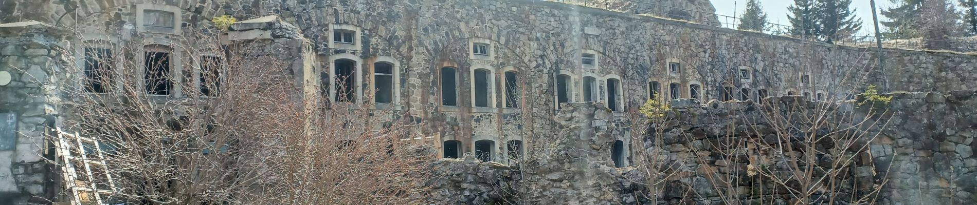
se garer à la salle des fêtes de Montgilbert puis direction St Georges puis monter (j'ai un peu coupé) vers les batteries.
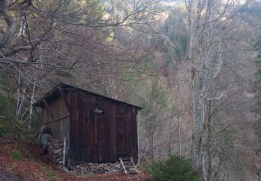
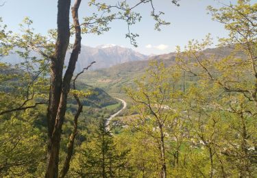
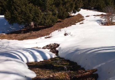
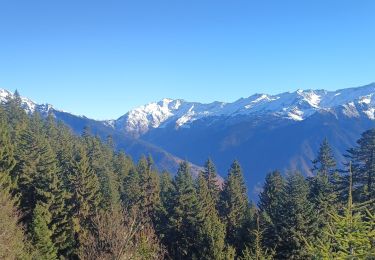
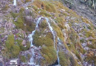
beaux points de vues
j'ai tenté la descente sur un chemin qui n'existe plus... vieux vaut passer par la crête, c'est plus joli et plus "roulant"


Marche
Marche
Marche
Marche
Randonnée équestre
Marche
Marche
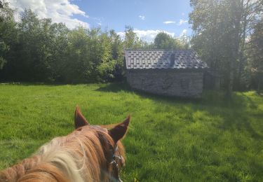
Randonnée équestre
Marche